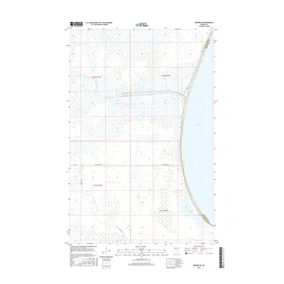
2016 Map of Berner NE
USGS Topo · Published 2016About this map
The western shoreline of Lower Red Lake dominates this northern Minnesota landscape, where the waters of the Red Lake River begin their journey westward. This 2016 survey highlights a sparsely developed region defined by the administrative boundaries of the Red Lake Indian Reservation, where transportation is centered on routes such as Resvn Hwy 31 and Resvn Hwy 47. These roads intersect the low-lying terrain, connecting isolated utility points like Farm Station Rd and Camp Four Rd. To the south, the isolated Sandy Lake sits near the Clearwater Co Beltrami Co line, providing a distinct geographic marker amidst the surrounding wetlands. The map illustrates the specialized infrastructure of the reservation, showing how the land is partitioned and managed through specific access roads and river corridors.
Find a feature on this map
13 named features on this map. Tap any name to fly to it.
Don’t see what you’re looking for? This feature index may not catch every label — zoom into the map to look around manually.
Map Details
Editions of this 2016 Berner NE Map
This is the sole edition of this map. No revisions or reprints were ever made.
Other maps of this area

1918 · Jelle
USGS Topo · 1:62,500

1919 · Churnes
USGS Topo · 1:62,500

1954 · Bemidji
USGS Topo · 1:250,000

1954 · Roseau
USGS Topo · 1:250,000

1957 · Roseau
USGS Topo · 1:250,000

1957 · Bemidji
USGS Topo · 1:250,000

1958 · Bemidji
USGS Topo · 1:250,000

1958 · Roseau
USGS Topo · 1:250,000

1972 · Bagley Lake
USGS Topo · 1:24,000
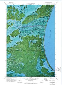
1972 · Berner NE
USGS Topo · 1:24,000