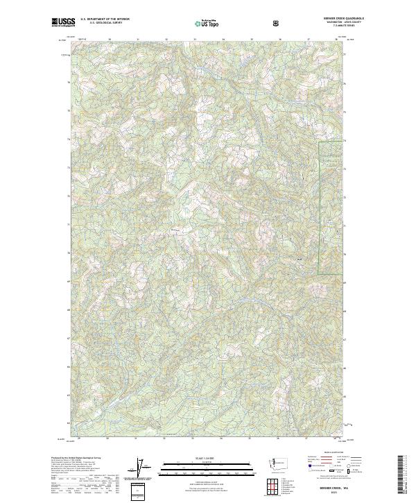
2023 Map of Bernier Creek
USGS Topo · Published 2023About this map
The South Fork Newaukum River and the Skookumchuck River define the drainage patterns of this timber-rich region in Lewis County. The terrain is characterized by a dense network of watercourses including Bernier Creek, Houser Creek, and Three Deer Creek, which flow through the western reaches of the Snoqualmie National Forest. While much of the area is dominated by the forest canopy and high points like Windy Knob, the southern margin reveals the early stages of rural development. Access into this interior is facilitated by local routes such as August Rd, Highlander Dr, and Pigeon Springs Rd, which serve as the primary conduits between the rugged timberlands and the more accessible river valleys. The map illustrates a landscape primarily shaped by forestry and the natural hydrology of the Pacific Northwest.
Find a feature on this map
22 named features on this map. Tap any name to fly to it.
Don’t see what you’re looking for? This feature index may not catch every label — zoom into the map to look around manually.
Map Details
Editions of this 2023 Bernier Creek Map
This is the sole edition of this map. No revisions or reprints were ever made.
Other maps of this area

1916 · Chehalis
USGS Topo · 1:125,000

1937 · Eatonville
USGS Topo · 1:125,000

1941 · Tanwax Lake
USGS Topo · 1:62,500

1943 · Willapa
USGS Topo · 1:62,500

1944 · Yelm
USGS Topo · 1:62,500

1944 · Ohop Valley
USGS Topo · 1:62,500

1949 · Ohop Valley
USGS Topo · 1:62,500

1949 · Yelm
USGS Topo · 1:62,500

1953 · Hoquiam
USGS Topo · 1:250,000

1954 · Onalaska
USGS Topo · 1:62,500