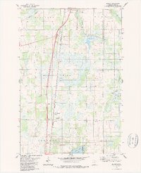
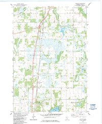
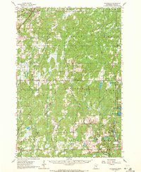
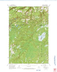
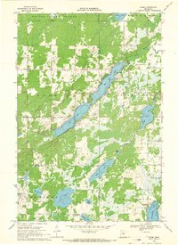
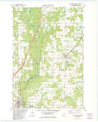
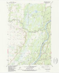
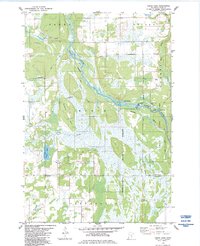
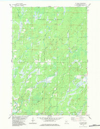
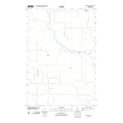
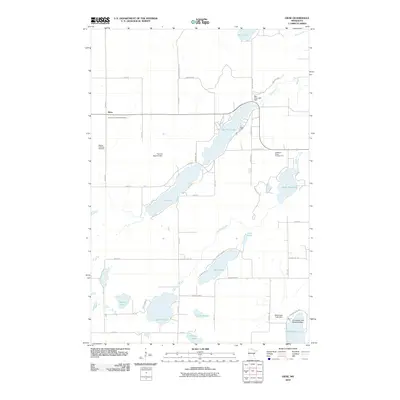
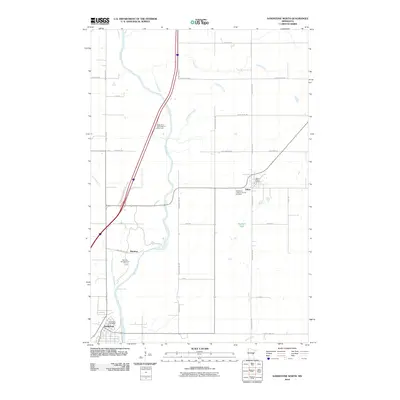
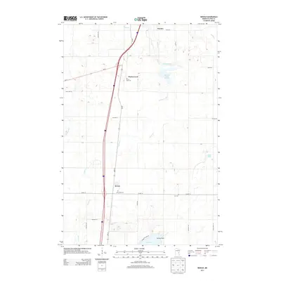
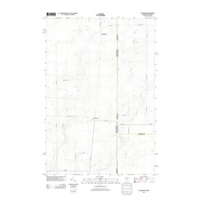
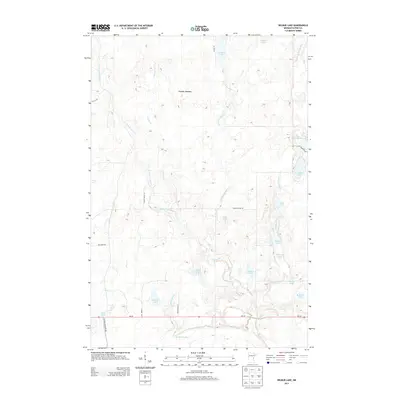
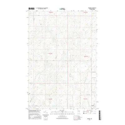
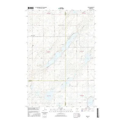
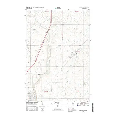
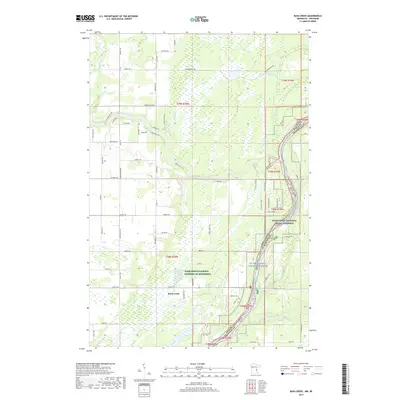
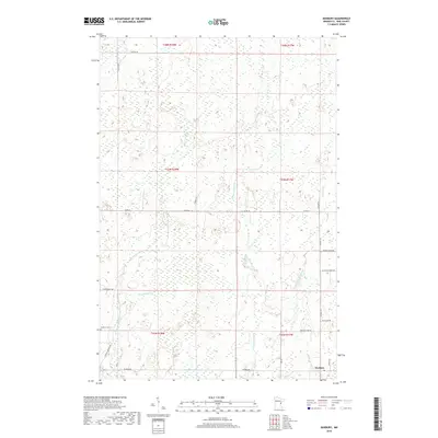
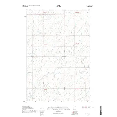
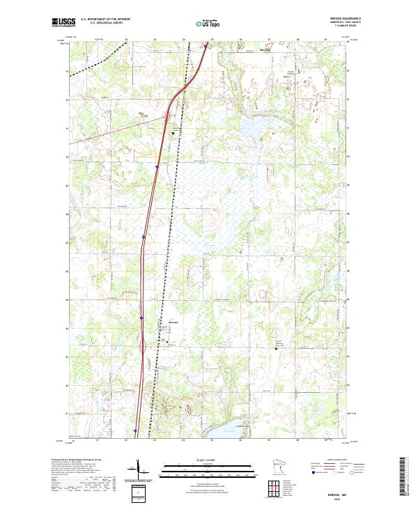
1983 Map of Beroun
USGS Topo · Published 1987About this map
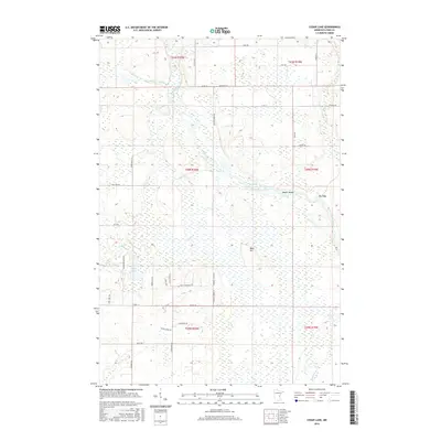
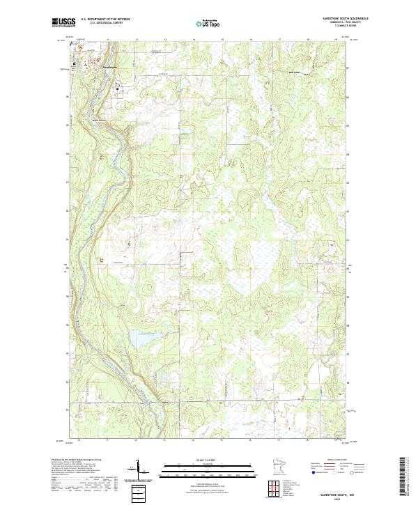
Beroun serves as a central hub on this landscape, positioned where the Burlington Northern railroad corridor meets the local road network. The area is defined by a dense network of marshes and water bodies, including Cross Lake and Mud Lake, which are fed by the winding courses of Mission Creek and Cedar Creek. This geography influenced the distribution of small settlements like Poke and Chengwatana, which were established near these drainage systems and rail lines.
Find a feature on this map
25 named features on this map. Tap any name to fly to it.
Don’t see what you’re looking for? This feature index may not catch every label — zoom into the map to look around manually.
Map Details
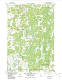
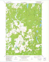
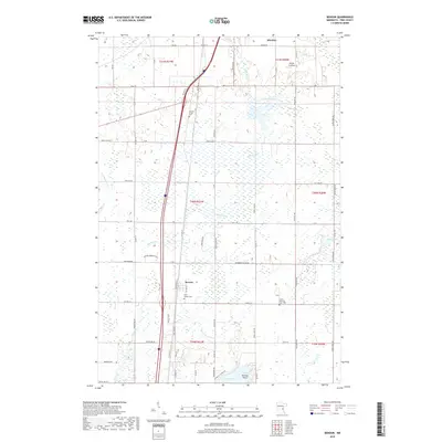
Editions of this 1983 Beroun Map
2 editions found
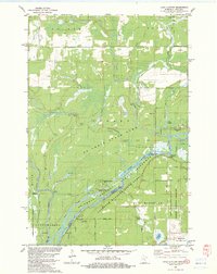
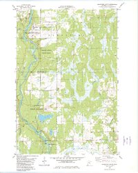
Historical Maps of Hinckley Through Time
87 maps found

1949 Holyoke
Pine County, MN
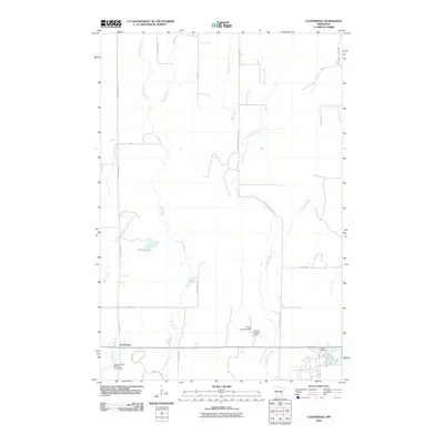
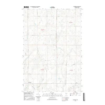
1962 Cloverdale
Pine County, MN
1962 Holyoke
Pine County, MN
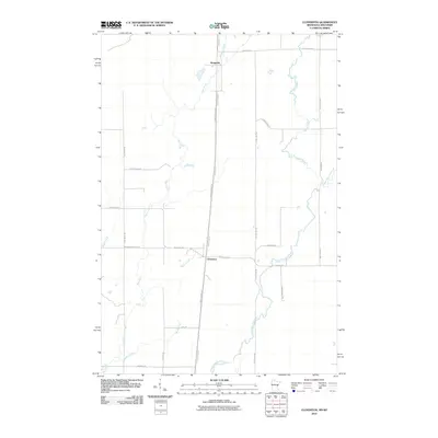
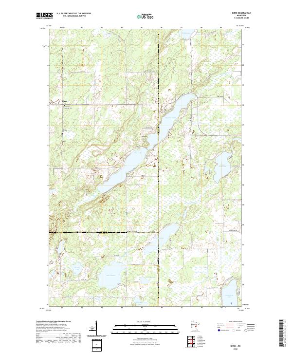
1968 Giese
Pine County, MN
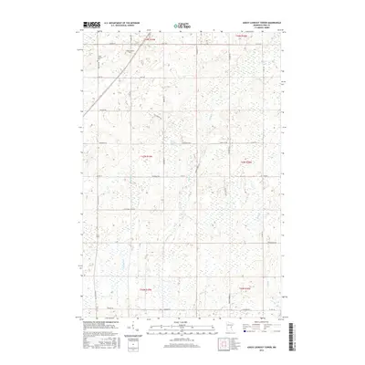
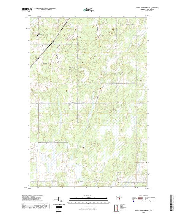
1981 Askov Lookout Tower
Pine County, MN
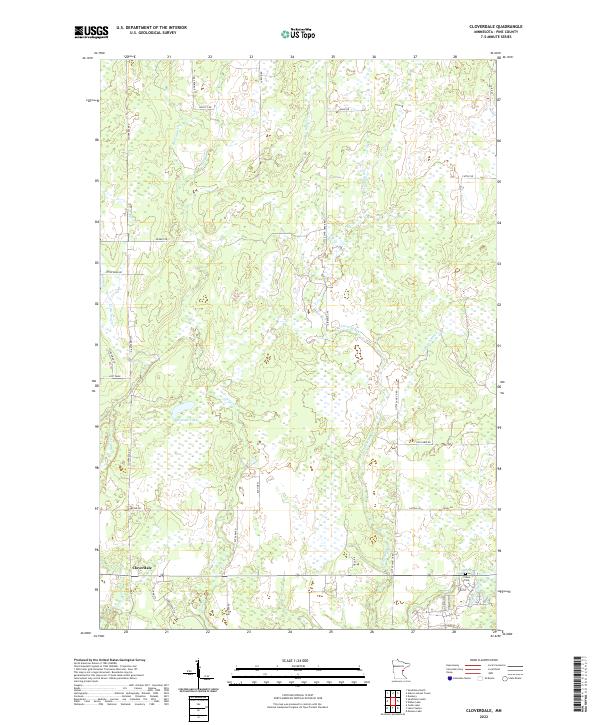
1981 Cloverdale
Pine County, MN
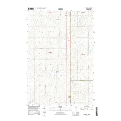
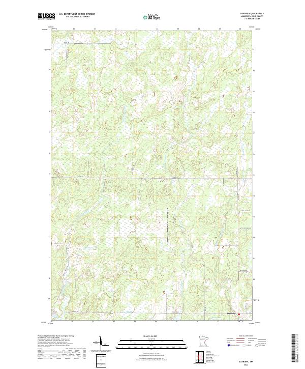
1981 Duxbury
Pine County, MN
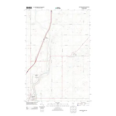
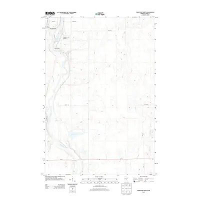
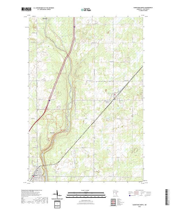
1981 Sandstone North
Pine County, MN
1981 Wilbur Lake
Pine County, MN
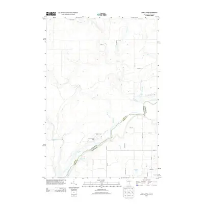
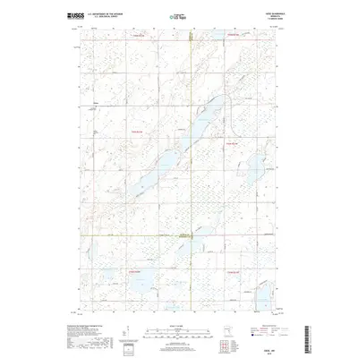
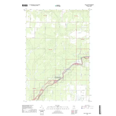
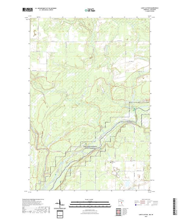
1982 Lake Clayton
Pine County, MN
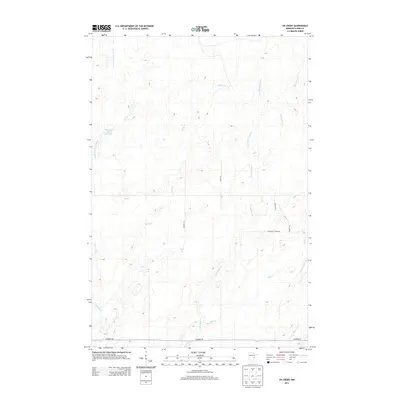
1982 Sandstone South
Pine County, MN
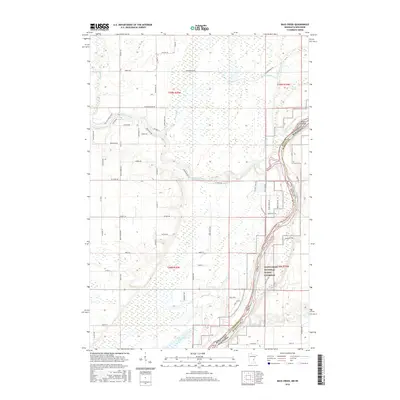
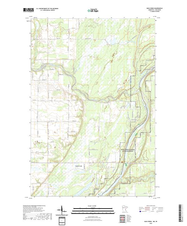
1983 Bass Creek
Pine County, MN
1983 Beroun
Pine County, MN
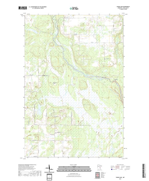
1983 Cedar Lake
Pine County, MN
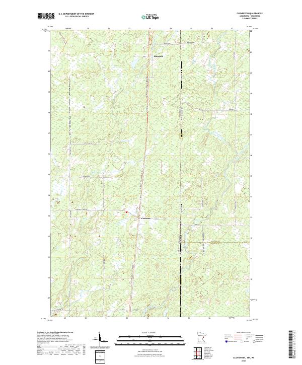
1983 Cloverton
Pine County, MN
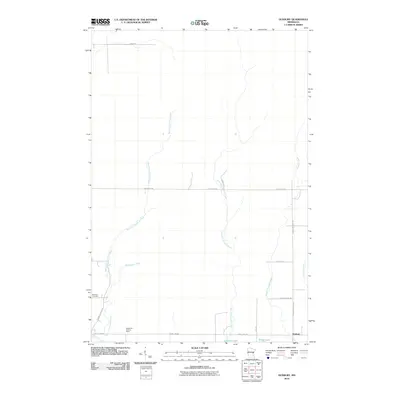
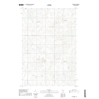
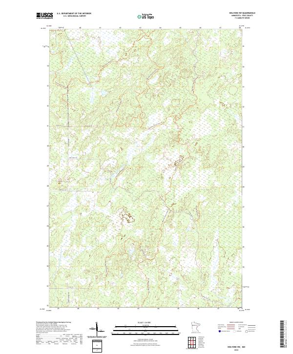
1983 Holyoke SW
Pine County, MN
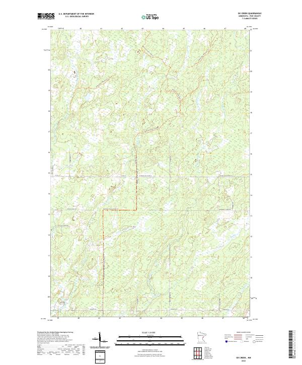
1983 Ox Creek
Pine County, MN
2010 Askov Lookout Tower
Pine County, MN
2010 Bass Creek
Pine County, MN
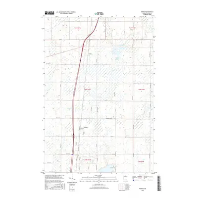
2010 Beroun
Pine County, MN
2010 Cedar Lake
Pine County, MN
2010 Cloverdale
Pine County, MN
2010 Cloverton
Pine County, MN
2010 Duxbury
Pine County, MN
2010 Giese
Pine County, MN
2010 Holyoke SW
Pine County, MN
2010 Lake Clayton
Pine County, MN
2010 Ox Creek
Pine County, MN
2010 Sandstone North
Pine County, MN
2010 Sandstone South
Pine County, MN
2010 Wilbur Lake
Pine County, MN
2013 Askov Lookout Tower
Pine County, MN
2013 Bass Creek
Pine County, MN
2013 Beroun
Pine County, MN
2013 Cedar Lake
Pine County, MN
2013 Cloverdale
Pine County, MN
2013 Cloverton
Pine County, MN
2013 Duxbury
Pine County, MN
2013 Giese
Pine County, MN
2013 Holyoke SW
Pine County, MN
2013 Lake Clayton
Pine County, MN
2013 Ox Creek
Pine County, MN
2013 Sandstone North
Pine County, MN
2013 Sandstone South
Pine County, MN
2013 Wilbur Lake
Pine County, MN
2016 Askov Lookout Tower
Pine County, MN
2016 Bass Creek
Pine County, MN
2016 Beroun
Pine County, MN
2016 Cedar Lake
Pine County, MN
2016 Cloverdale
Pine County, MN
2016 Cloverton
Pine County, MN
2016 Duxbury
Pine County, MN
2016 Giese
Pine County, MN
2016 Holyoke SW
Pine County, MN
2016 Lake Clayton
Pine County, MN
2016 Ox Creek
Pine County, MN
2016 Sandstone North
Pine County, MN
2016 Sandstone South
Pine County, MN
2016 Wilbur Lake
Pine County, MN
2019 Askov Lookout Tower
Pine County, MN
2019 Bass Creek
Pine County, MN
2019 Beroun
Pine County, MN
2019 Cedar Lake
Pine County, MN
2019 Cloverdale
Pine County, MN

2019 Cloverton
Pine County, MN
2019 Duxbury
Pine County, MN
2019 Giese
Pine County, MN
2019 Holyoke SW
Pine County, MN
2019 Lake Clayton
Pine County, MN
2019 Ox Creek
Pine County, MN
2019 Sandstone North
Pine County, MN
2019 Sandstone South
Pine County, MN
2019 Wilbur Lake
Pine County, MN
2022 Askov Lookout Tower
Pine County, MN
2022 Bass Creek
Pine County, MN
2022 Beroun
Pine County, MN
2022 Cedar Lake
Pine County, MN
2022 Cloverdale
Pine County, MN
2022 Cloverton
Pine County, MN
2022 Duxbury
Pine County, MN
2022 Giese
Pine County, MN
2022 Holyoke SW
Pine County, MN
2022 Lake Clayton
Pine County, MN
2022 Ox Creek
Pine County, MN
2022 Sandstone North
Pine County, MN
2022 Sandstone South
Pine County, MN
2022 Wilbur Lake
Pine County, MN