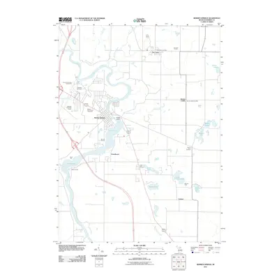
2011 Map of Berrien Springs
USGS Topo · Published 2011About this map
The Saint-Joseph River winds through the heart of this southwest Michigan landscape, defining the character of Berrien Springs and the surrounding townships. Central to the area is the expansive campus of Andrews University, featuring landmarks like the Andrews University Airpark and the Andrews University Sledding Hill. The river’s path creates unique geographical features such as Pardee Island and widens into Lake Chapin, which is flanked by recreational sites including Camp Betz and Camp Oronoko.
Find a feature on this map
33 named features on this map. Tap any name to fly to it.
Don’t see what you’re looking for? This feature index may not catch every label — zoom into the map to look around manually.
Map Details
Editions of this 2011 Berrien Springs Map
This is the sole edition of this map. No revisions or reprints were ever made.
Other maps of this area

1927 · Niles
USGS Topo · 1:62,500

1927 · Hartford
USGS Topo · 1:62,500

1927 · Benton Harbor
USGS Topo · 1:62,500

1930 · Benton Harbor
USGS Topo · 1:62,500

1930 · Niles
USGS Topo · 1:62,500

1931 · Hartford
USGS Topo · 1:62,500

1943 · Niles
USGS Topo · 1:62,500

1945 · Cassopolis
USGS Topo · 1:62,500

1947 · Cassopolis
USGS Topo · 1:62,500

1953 · Chicago
USGS Topo · 1:250,000