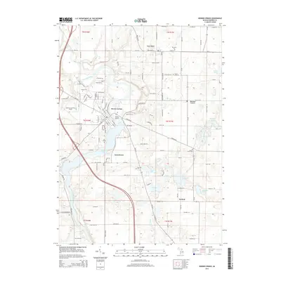
2014 Map of Berrien Springs
USGS Topo · Published 2014About this map
The Saint Joseph River winds through the heart of Berrien County, defining the geography of Berrien Springs and its surrounding agricultural townships. The river expands into Lake Chapin south of the village, creating a prominent water feature near the settlement of Pennellwood. To the west, the campus of Andrews Univ and the Andrews University Airpark occupy a significant portion of the landscape, illustrating the importance of the university to the local community.
Find a feature on this map
126 named features on this map. Tap any name to fly to it.
Don’t see what you’re looking for? This feature index may not catch every label — zoom into the map to look around manually.
Map Details
Editions of this 2014 Berrien Springs Map
This is the sole edition of this map. No revisions or reprints were ever made.
Other maps of this area

1927 · Niles
USGS Topo · 1:62,500

1927 · Hartford
USGS Topo · 1:62,500

1927 · Benton Harbor
USGS Topo · 1:62,500

1930 · Benton Harbor
USGS Topo · 1:62,500

1930 · Niles
USGS Topo · 1:62,500

1931 · Hartford
USGS Topo · 1:62,500

1943 · Niles
USGS Topo · 1:62,500

1945 · Cassopolis
USGS Topo · 1:62,500

1947 · Cassopolis
USGS Topo · 1:62,500

1953 · Chicago
USGS Topo · 1:250,000