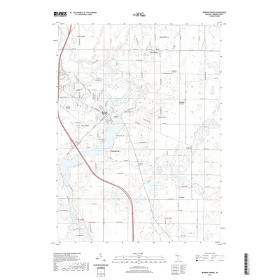
2019 Map of Berrien Springs
USGS Topo · Published 2019About this map
The Saint Joseph River anchors this southwestern Michigan landscape, winding past the village of Berrien Springs and forming the expansive Lake Chapin. This area is defined by its deep educational and agricultural roots, notably serving as the home of Andrews University and its associated Andrews University Airpark and Mountain Bike Ride trails. The map documents a cluster of traditional settlements, including Eau Claire and Berrien Center, which are surrounded by numerous lakes such as Little Indian Lake and Webster Lake. Genealogists will find several burial grounds noted, including Rose Hill Cem and Long Lake Cem. The geography is further detailed by land features like Pardee Island and the small community of Pennellwood along the riverbanks.
Find a feature on this map
119 named features on this map. Tap any name to fly to it.
Don’t see what you’re looking for? This feature index may not catch every label — zoom into the map to look around manually.
Map Details
Editions of this 2019 Berrien Springs Map
This is the sole edition of this map. No revisions or reprints were ever made.
Other maps of this area

1927 · Niles
USGS Topo · 1:62,500

1927 · Hartford
USGS Topo · 1:62,500

1927 · Benton Harbor
USGS Topo · 1:62,500

1930 · Benton Harbor
USGS Topo · 1:62,500

1930 · Niles
USGS Topo · 1:62,500

1931 · Hartford
USGS Topo · 1:62,500

1943 · Niles
USGS Topo · 1:62,500

1945 · Cassopolis
USGS Topo · 1:62,500

1947 · Cassopolis
USGS Topo · 1:62,500

1953 · Chicago
USGS Topo · 1:250,000