Loading...
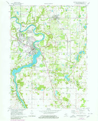
Loading map...1971 Map of Berrien Springs
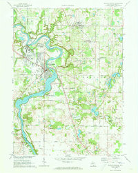
USGS Topo · Published 1980About this map
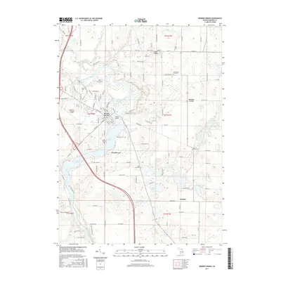
St Joseph River meanders sharply through this Berrien County landscape, widening into Lake Chapin south of the village of Berrien Springs. The prominent campus of Andrews University occupies a large tract northwest of the town center, featuring its own airport and radio tower. This 1971 survey, with 1980 revisions, reveals a transition from these academic and residential hubs to the surrounding agricultural townships of Oronoko and Berrien.
Find a feature on this map
67 named features on this map. Tap any name to fly to it.
Don’t see what you’re looking for? This feature index may not catch every label — zoom into the map to look around manually.
Map Details
Date Portrayed1971
Date Published1980
PublisherU.S. Geological Survey
Map TypeTopographic
Scale1:24,000
Physical Dimensions22 x 27 inches
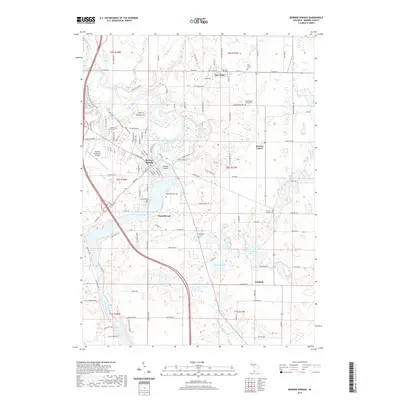
Editions of this 1971 Berrien Springs Map
2 editions found
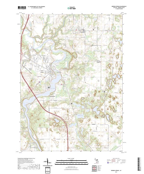
Historical Maps of Berrien Springs Through Time
6 maps found
Featured Locations
- Berrien Township, MI
- Buchanan Township, MI
- Pipestone Township, MI
- Eau Claire, MI
- Berrien Springs, Oronoko Charter Township
Source Details
SourceU.S. Geological Survey
CopyrightPublic Domain