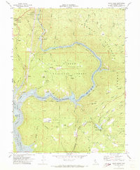
1970 Map of Berry Creek
USGS Topo · Published 1973About this map
The North Fork Feather River and the rising waters of Lake Oroville dominate this 1970 landscape, where industrial infrastructure meets the steep slopes of the Lassen National Forest and Plumas National Forest. The Western Pacific Railroad snakes along the northern river banks, supporting local energy and mining operations like the Poe Powerhouse and Surge Tank. Evidence of the region’s long-standing mining history is visible in the clusters of claims and workings north of the river, including the Bunker Hill Mine, Surcease Mine, and Evening Star Mine.
Find a feature on this map
60 named features on this map. Tap any name to fly to it.
Don’t see what you’re looking for? This feature index may not catch every label — zoom into the map to look around manually.
Map Details
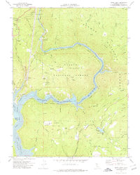
Editions of this 1970 Berry Creek Map
2 editions found
Other maps of this area

1888 · Bidwell Bar
USGS Topo · 1:125,000

1891 · Bidwell Bar
USGS Topo · 1:125,000

1891 · Chico
USGS Topo · 1:125,000

1893 · Chico
USGS Topo · 1:125,000

1893 · Bidwell Bar
USGS Topo · 1:125,000

1895 · Bidwell Bar
USGS Topo · 1:125,000

1895 · Chico
USGS Topo · 1:125,000

1897 · Bidwell Bar
USGS Topo · 1:125,000

1912 · Oroville
USGS Topo · 1:31,680

1942 · Oroville
USGS Topo · 1:62,500