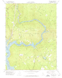
1970 Map of Berry Creek
USGS Topo · Published 1978About this map
North Fork Feather River carves a deep path through the Sierra Nevada foothills, where the industrial legacy of hydroelectric power and gold mining meets the evolving landscape of California's water infrastructure. The Western Pacific RR traces the river canyon, passing through Tunnel No 7 and Tunnel No 8 to support the Poe Powerhouse. This 1970 survey captures the region following the creation of Lake Oroville, showing the Lake Oroville State Recreation Area as it submerged the lower canyons while the upper elevations remained defined by the Lassen National Forest and Plumas National Forest.
Find a feature on this map
74 named features on this map. Tap any name to fly to it.
Don’t see what you’re looking for? This feature index may not catch every label — zoom into the map to look around manually.
Map Details
Editions of this 1970 Berry Creek Map
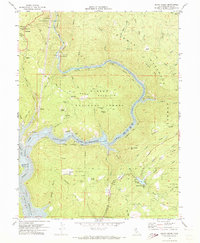
2 editions found
Other maps of this area

1888 · Bidwell Bar
USGS Topo · 1:125,000

1891 · Bidwell Bar
USGS Topo · 1:125,000

1891 · Chico
USGS Topo · 1:125,000

1893 · Chico
USGS Topo · 1:125,000

1893 · Bidwell Bar
USGS Topo · 1:125,000

1895 · Bidwell Bar
USGS Topo · 1:125,000

1895 · Chico
USGS Topo · 1:125,000

1897 · Bidwell Bar
USGS Topo · 1:125,000

1912 · Oroville
USGS Topo · 1:31,680

1942 · Oroville
USGS Topo · 1:62,500