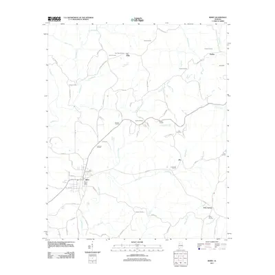
2011 Map of Berry
USGS Topo · Published 2011About this map
Berry sits at a crossroads of rural Fayette County, where the landscape is defined by the winding course of the North River and its numerous tributaries. This survey captures a series of small, dispersed communities including Pea Ridge, Alta, and Boley Springs, which are connected by a network of local roads such as Co Hwy 83 and Co Hwy 30. The region's genealogy is preserved through a high density of family and community burial grounds, from the Berry City Cemetery near the local Berry Post Office to the outlying Panter Cemetery and Madison Cemetery.
Find a feature on this map
81 named features on this map. Tap any name to fly to it.
Don’t see what you’re looking for? This feature index may not catch every label — zoom into the map to look around manually.
Map Details
Editions of this 2011 Berry Map
This is the sole edition of this map. No revisions or reprints were ever made.
Other maps of this area

1893 · Jasper
USGS Topo · 1:125,000

1949 · Townley
USGS Topo · 1:24,000

1949 · Oakman
USGS Topo · 1:24,000

1949 · Wiley
USGS Topo · 1:24,000

1951 · Oakman
USGS Topo · 1:24,000

1951 · Wiley
USGS Topo · 1:24,000

1951 · Townley
USGS Topo · 1:24,000

1953 · Birmingham
USGS Topo · 1:250,000

1956 · Birmingham
USGS Topo · 1:250,000

1957 · Birmingham
USGS Topo · 1:250,000