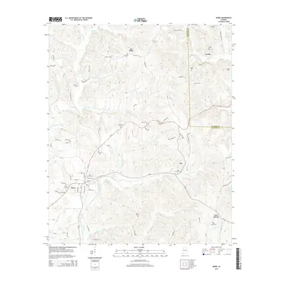
2014 Map of Berry
USGS Topo · Published 2014About this map
The town of Berry serves as the primary hub in this eastern Fayette County landscape, where the street grid of Madison Ave and Federal Ave meets the surrounding rural terrain. The area is defined by a dense network of family-named landmarks and community centers, particularly concentrated around the winding courses of the North River and Cedar Creek. To the east, the boundary between Fayette and Walker Counties runs through the small settlements of Pendley and Alta, where local life is anchored by several long-standing burial grounds such as Alta Cemetery and Pendley Cemetery.
Find a feature on this map
86 named features on this map. Tap any name to fly to it.
Don’t see what you’re looking for? This feature index may not catch every label — zoom into the map to look around manually.
Map Details
Editions of this 2014 Berry Map
This is the sole edition of this map. No revisions or reprints were ever made.
Other maps of this area

1893 · Jasper
USGS Topo · 1:125,000

1949 · Townley
USGS Topo · 1:24,000

1949 · Oakman
USGS Topo · 1:24,000

1949 · Wiley
USGS Topo · 1:24,000

1951 · Oakman
USGS Topo · 1:24,000

1951 · Wiley
USGS Topo · 1:24,000

1951 · Townley
USGS Topo · 1:24,000

1953 · Birmingham
USGS Topo · 1:250,000

1956 · Birmingham
USGS Topo · 1:250,000

1957 · Birmingham
USGS Topo · 1:250,000