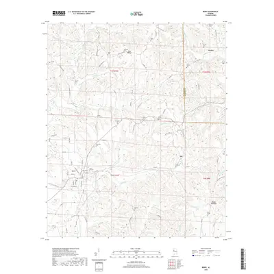
2018 Map of Berry
USGS Topo · Published 2018About this map
Berry sits at the heart of this landscape, where the headwaters of Little Cedar Cr and Cedar Cr converge near the Berry City Cem. This 2018 survey reveals a terrain defined by ridges and family-named landmarks, such as Pea Ridge and Fulton Hill, which dictate the winding paths of rural roads. The settlement pattern is deeply rooted in local genealogy, evidenced by the numerous small burial grounds and churches scattered throughout the area, including the Tabernacle Cem, Bethabara Cem, and Madison Cem. In the eastern section, the boundary between Fayette and Walker Counties runs north to south, passing near the small community of Alta. To the southeast, Boley Springs remains a distinct locality centered near the Boley Springs Cem. The network of creeks, including Flat Cr and Fyro Cr, illustrates the drainage patterns typical of the region's hilly interior.
Find a feature on this map
97 named features on this map. Tap any name to fly to it.
Don’t see what you’re looking for? This feature index may not catch every label — zoom into the map to look around manually.
Map Details
Editions of this 2018 Berry Map
This is the sole edition of this map. No revisions or reprints were ever made.
Other maps of this area

1893 · Jasper
USGS Topo · 1:125,000

1949 · Townley
USGS Topo · 1:24,000

1949 · Oakman
USGS Topo · 1:24,000

1949 · Wiley
USGS Topo · 1:24,000

1951 · Oakman
USGS Topo · 1:24,000

1951 · Wiley
USGS Topo · 1:24,000

1951 · Townley
USGS Topo · 1:24,000

1953 · Birmingham
USGS Topo · 1:250,000

1956 · Birmingham
USGS Topo · 1:250,000

1957 · Birmingham
USGS Topo · 1:250,000