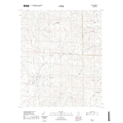
2020 Map of Berry
USGS Topo · Published 2020About this map
The town of Berry sits at the junction of several county roads and the surrounding drainage of Cedar Cr, characterizing this portion of the Fayette and Walker County border. This 2020 survey reveals a landscape deeply connected to its rural cemeteries and small communities, such as Pea Ridge and Boley Springs. The topography is defined by significant rises like Fulton Hill and Frost Hill, with numerous named waterways including Cane Cr and George Cr carving through the terrain. Genealogists will find a high density of burial sites across the landscape, from the Berry City Cem in the town center to more remote locations like Pendley's Chapel Cem and Bethabara Cem. The road network, including Pea Ridge Rd and Willis Ridge Rd, follows the high ground between creek branches, reflecting a long-standing pattern of ridge-top travel in this part of Alabama.
Find a feature on this map
97 named features on this map. Tap any name to fly to it.
Don’t see what you’re looking for? This feature index may not catch every label — zoom into the map to look around manually.
Map Details
Editions of this 2020 Berry Map
This is the sole edition of this map. No revisions or reprints were ever made.
Other maps of this area

1893 · Jasper
USGS Topo · 1:125,000

1949 · Townley
USGS Topo · 1:24,000

1949 · Oakman
USGS Topo · 1:24,000

1949 · Wiley
USGS Topo · 1:24,000

1951 · Oakman
USGS Topo · 1:24,000

1951 · Wiley
USGS Topo · 1:24,000

1951 · Townley
USGS Topo · 1:24,000

1953 · Birmingham
USGS Topo · 1:250,000

1956 · Birmingham
USGS Topo · 1:250,000

1957 · Birmingham
USGS Topo · 1:250,000