2024 Map of Berry
USGS Topo · Published 2024About this map
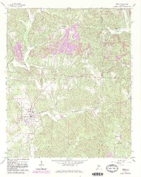
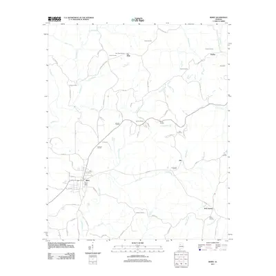
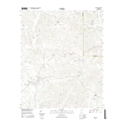
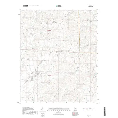
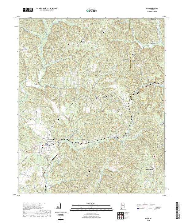
Berry serves as the primary hub in this corner of the Alabama coal region, anchored by the BNSF Railway corridor and the Berry Post Office. The landscape is defined by the dividing line between Walker and Fayette counties, with the town's social fabric represented by Berry High Sch and several prominent burial grounds including the Berry City Cem. Moving away from the town center, the terrain is shaped by the winding North River and Beaver Creek, where smaller rural settlements like Pea Ridge and Boley Springs maintain their local identity through landmarks such as Boley Springs Cem and New Hope Cem.
Find a feature on this map
98 named features on this map. Tap any name to fly to it.
Don’t see what you’re looking for? This feature index may not catch every label — zoom into the map to look around manually.
Map Details
Editions of this 2024 Berry Map
This is the sole edition of this map. No revisions or reprints were ever made.
Historical Maps of Berry Through Time
6 maps found