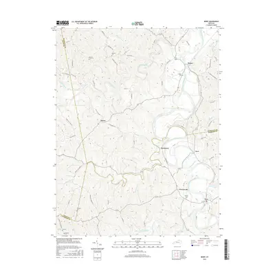
2016 Map of Berry
USGS Topo · Published 2016About this map
The South Fork Licking River winds deeply through this northern Kentucky landscape, creating a jagged pattern of ridges and hollows that define the layout of local roads and settlements. In the southern reach, Berry stands near the confluence of Raven Creek and the river, while the small community of Colemansville is situated just to the northwest. The map provides significant detail for genealogists, identifying numerous family-named burial sites such as Thompson Cem, Dunn Cem, and Robinson Cem, alongside the Pythian Grove Cem near the riverbanks.
Find a feature on this map
74 named features on this map. Tap any name to fly to it.
Don’t see what you’re looking for? This feature index may not catch every label — zoom into the map to look around manually.
Map Details
Editions of this 2016 Berry Map
This is the sole edition of this map. No revisions or reprints were ever made.
Other maps of this area

1929 · Cynthiana
USGS Topo · 1:48,000

1930 · Falmouth
USGS Topo · 1:48,000

1934 · Cynthiana
USGS Topo · 1:62,500

1936 · Falmouth
USGS Topo · 1:62,500

1939 · Sadieville
USGS Topo · 1:62,500

1950 · Mason
USGS Topo · 1:24,000

1950 · Williamstown
USGS Topo · 1:24,000

1953 · Sadieville
USGS Topo · 1:24,000

1953 · Berry
USGS Topo · 1:24,000

1953 · Breckinridge
USGS Topo · 1:24,000