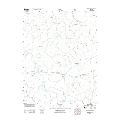
2011 Map of Berryman
USGS Topo · Published 2011About this map
Berryman and the surrounding Washington County landscape are defined by a network of hollows and timber-related industry as it stood in the early 21st century. The settlement at Four Points sits at a junction of roads near the meandering Courtois Creek, while the presence of the Davis Sawmill and C D Smiths Sawmill indicates the enduring importance of local lumber. Genealogists will find a high density of family and community burial grounds throughout the area, including the Courtois Cemetery, Dobkins Cemetery, Whitby-Ellis Cemetery, and Cresswell Cemetery.
Find a feature on this map
48 named features on this map. Tap any name to fly to it.
Don’t see what you’re looking for? This feature index may not catch every label — zoom into the map to look around manually.
Map Details
Editions of this 2011 Berryman Map
This is the sole edition of this map. No revisions or reprints were ever made.
Other maps of this area

1901 · De Soto
USGS Topo · 1:125,000

1903 · Sullivan
USGS Topo · 1:125,000

1906 · Potosi
USGS Topo · 1:62,500

1943 · Berryman
USGS Topo · 1:62,500

1945 · Berryman
USGS Topo · 1:62,500

1946 · Richwoods
USGS Topo · 1:62,500

1947 · Sullivan
USGS Topo · 1:62,500

1948 · Richwoods
USGS Topo · 1:62,500

1949 · Saint Louis
USGS Topo · 1:250,000

1949 · Sullivan
USGS Topo · 1:62,500