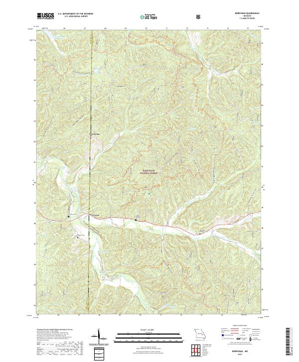
2021 Map of Berryman
USGS Topo · Published 2021About this map
Berryman sits at the intersection of local routes within the sprawling reaches of the Mark Twain National Forest. The landscape is defined by its complex drainage network, where Courtois Creek and Lost Creek carve through the Missouri Ozarks. For those tracing local history, several small burial grounds are scattered throughout the hills, including Courtois Cem, Whitby Ellis Cem, Dobkins Cem, and Cresswell - Matthews Cem, often located near prominent landforms like Cedar Ridge.
Find a feature on this map
38 named features on this map. Tap any name to fly to it.
Don’t see what you’re looking for? This feature index may not catch every label — zoom into the map to look around manually.
Map Details
Editions of this 2021 Berryman Map
This is the sole edition of this map. No revisions or reprints were ever made.
Other maps of this area

1901 · De Soto
USGS Topo · 1:125,000

1903 · Sullivan
USGS Topo · 1:125,000

1906 · Potosi
USGS Topo · 1:62,500

1943 · Berryman
USGS Topo · 1:62,500

1945 · Berryman
USGS Topo · 1:62,500

1946 · Richwoods
USGS Topo · 1:62,500

1947 · Sullivan
USGS Topo · 1:62,500

1948 · Richwoods
USGS Topo · 1:62,500

1949 · Saint Louis
USGS Topo · 1:250,000

1949 · Sullivan
USGS Topo · 1:62,500