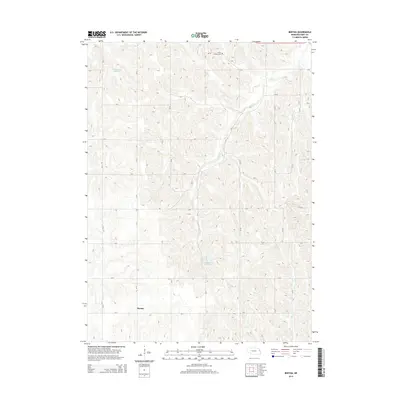
2014 Map of Bertha
USGS Topo · Published 2014About this map
Bertha serves as a central reference point in this corner of Burt County, where the landscape is defined by a rigorous grid of section roads and the natural flow of several prairie waterways. The drainage pattern of the region is traced by Elm Cr, Silver Cr, and Lone Tree Cr, which cut through the agricultural tablelands of eastern Nebraska. Human management of the water is evident in features like Drummond Reservoir to the north and Langemeier Reservoir further south. Local genealogy and history are anchored by the Holy Family Cem in the northern portion of the quadrangle. The map captures the enduring rural character of the area, where the vast majority of the land is organized for farming and connected by an extensive network of county roads, including CR-21 and CR-V, maintaining the settlement patterns established in the previous century.
Find a feature on this map
27 named features on this map. Tap any name to fly to it.
Don’t see what you’re looking for? This feature index may not catch every label — zoom into the map to look around manually.
Map Details
Editions of this 2014 Bertha Map
This is the sole edition of this map. No revisions or reprints were ever made.
Other maps of this area

1955 · Sioux City
USGS Topo · 1:250,000

1955 · Fremont
USGS Topo · 1:250,000

1957 · Fremont
USGS Topo · 1:250,000

1958 · Sioux City
USGS Topo · 1:250,000

1958 · Fremont
USGS Topo · 1:250,000

1959 · Sioux City
USGS Topo · 1:250,000

1966 · Oakland
USGS Topo · 1:24,000

1966 · Lyons
USGS Topo · 1:24,000

1966 · Walthill SW
USGS Topo · 1:24,000

1966 · Macy
USGS Topo · 1:24,000