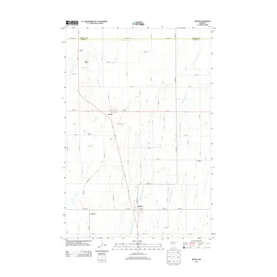
2013 Map of Bertha
USGS Topo · Published 2013About this map
The Wing River and Little Partridge River carve a winding course through this portion of Todd and Wadena Counties, defining a landscape shaped by agricultural drainage and glacial terrain. The settlements of Bertha and Hewitt serve as the primary hubs, with many residential streets and local businesses concentrated along W Main St and E Main St. The surrounding countryside is marked by a high density of rural burial sites, including the Mt Nebo Cem near the prominent elevation of Mount Nebo, and the Zion and Saint Johns Cem further south. This network of small community landmarks, from the Trinity Cem to the Immanuel Cem, reflects a deeply rooted settlement pattern established by early families in the region. The map also detailes the drainage systems essential to local land use, such as County Ditch Number Fifteen.
Find a feature on this map
37 named features on this map. Tap any name to fly to it.
Don’t see what you’re looking for? This feature index may not catch every label — zoom into the map to look around manually.
Map Details
Editions of this 2013 Bertha Map
This is the sole edition of this map. No revisions or reprints were ever made.
Other maps of this area

1953 · Brainerd
USGS Topo · 1:250,000

1957 · Brainerd
USGS Topo · 1:250,000

1958 · Brainerd
USGS Topo · 1:250,000

1965 · Brainerd
USGS Topo · 1:250,000

1966 · Aldrich North
USGS Topo · 1:24,000
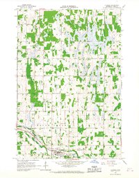
1966 · Clarissa
USGS Topo · 1:24,000

1966 · Aldrich South
USGS Topo · 1:24,000
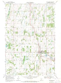
1969 · Eagle Bend
USGS Topo · 1:24,000

1969 · Bertha
USGS Topo · 1:24,000

1969 · Wrightstown
USGS Topo · 1:24,000