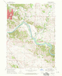
1968 Map of Bertram
USGS Topo · Published 1970About this map
The Cedar River carves a dominant path through Linn County, serving as the geographic anchor for the burgeoning eastern suburbs of Cedar Rapids and the rural townships of Bertram and Putnam. In the late 1960s, the landscape reflects a transition from traditional agricultural land to suburban expansion, evidenced by residential pockets like Vernon View and Worthington Acres. The river corridor is notable for its industrial and recreational utility, featuring several Quarries and a Gravel Pit alongside the established Palisades-Kepler State Park. Local history is preserved in the smaller settlements and rural landmarks, including the Campbell Cem and Erskine Sch. A complex transportation network of three major railroads, including the Chicago Rock Island and Pacific Railroad, underscores the region's importance as a Midwestern transit hub during this era.
Find a feature on this map
35 named features on this map. Tap any name to fly to it.
Don’t see what you’re looking for? This feature index may not catch every label — zoom into the map to look around manually.
Map Details
Editions of this 1968 Bertram Map
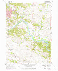
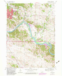
Other maps of this area

1887 · Cedar Rapids
USGS Topo · 1:62,500

1888 · Marion
USGS Topo · 1:62,500

1889 · Marion
USGS Topo · 1:62,500

1890 · Anamosa
USGS Topo · 1:62,500

1891 · Mechanicsville
USGS Topo · 1:62,500

1891 · Cedar Rapids
USGS Topo · 1:62,500

1894 · Mechanicsville
USGS Topo · 1:62,500

1900 · Anamosa
USGS Topo · 1:125,000

1901 · Stanwood
USGS Topo · 1:125,000

1903 · Fairfax
USGS Topo · 1:125,000