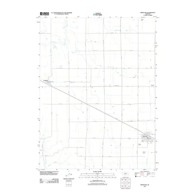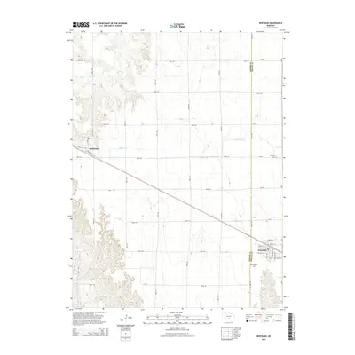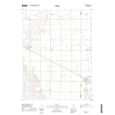
1971 Map of Bertrand
USGS Topo · Published 1973About this map
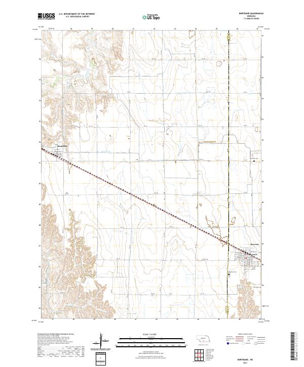
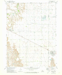
The town of Bertrand anchors the southeast corner of this central Nebraska landscape, which is defined by the rigid grid of townships and the diagonal path of the Burlington Northern railroad. This survey, based on 1968 aerial photography, shows the agricultural character of the border between Gosper and Phelps Counties. Irrigation infrastructure is prominent, notably Lateral E-65 and various flumes near the settlement of Smithfield. A National Wildlife Management Area provides a break in the cultivated fields of Westside and Garfield, while local landmarks like Hope Ch, Highland Cem, and Immanuel Cem offer specific touchpoints for genealogical research. The varied terrain shifts from the organized farmland around Harrison to the more dissected breaks of Plum Creek in the northwest.
Find a feature on this map
17 named features on this map. Tap any name to fly to it.
Don’t see what you’re looking for? This feature index may not catch every label — zoom into the map to look around manually.
Map Details
Editions of this 1971 Bertrand Map
This is the sole edition of this map. No revisions or reprints were ever made.
Historical Maps of Bertrand Through Time
5 maps found