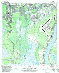
1992 Map of Bertrandville
USGS Topo · Published 1992About this map
The Mississippi River winds along the eastern edge of this coastal Louisiana landscape, defining a narrow corridor of settlements like Linwood and Bertrandville perched on the natural levee. This 1992 revision reveals a complex hydraulic environment where human engineering meets the wetland, featuring the Intracoastal Waterway and various cuts like the Hero Cutoff. The massive infrastructure of the US Naval Air Station (Alvin Callender Field) dominates the central plain, while the western reaches transition into the protected swamps of the Jean Lafitte National Historical Park and Preserve. Local life is anchored by institutions such as St John The Baptist Ch and schools including Truman Jr High Sch, reflecting the community growth around Estelle and Crown Point during the late twentieth century.
Find a feature on this map
53 named features on this map. Tap any name to fly to it.
Don’t see what you’re looking for? This feature index may not catch every label — zoom into the map to look around manually.
Map Details
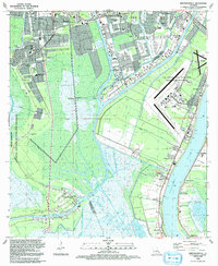
Editions of this 1992 Bertrandville Map
2 editions found
Other maps of this area

1891 · Pointe a La Hache
USGS Topo · 1:62,500

1891 · New Orleans
USGS Topo · 1:62,500

1892 · Barataria
USGS Topo · 1:62,500

1892 · St. Bernard
USGS Topo · 1:62,500

1892 · Pointe a La Hache
USGS Topo · 1:62,500

1932 · New Orleans NE
USGS Topo · 1:31,680

1932 · New Orleans NW
USGS Topo · 1:31,680

1932 · New Orleans SE
USGS Topo · 1:31,680

1932 · New Orleans SW
USGS Topo · 1:31,680
1938 · New Orleans West
USGS Topo · 1:31,680