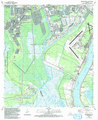
1992 Map of Bertrandville
USGS Topo · Published 1992About this map
The Mississippi River defines the eastern boundary of this landscape, where a dense network of canals and bayous supports a complex maritime and industrial environment. To the west, the Jean Lafitte National Historical Park and Preserve protects a vast expanse of wetland terrain, while the Intracoastal Waterway and Harvey Canal No 1 facilitate heavy commercial traffic. The transition from the high ground near the river to the swampy interior is marked by long-established settlements like Bertrandville and Oakville, which follow the narrow natural levees. The presence of the US Naval Air Station (Alvin Callender Field) and the Southern Seaplane Base underscores the region's strategic importance. Local community life is anchored by institutions such as St John The Baptist Ch and several neighborhood schools including Miller-Wall Sch and H Cox Middle Sch.
Find a feature on this map
65 named features on this map. Tap any name to fly to it.
Don’t see what you’re looking for? This feature index may not catch every label — zoom into the map to look around manually.
Map Details
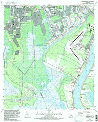
Editions of this 1992 Bertrandville Map
2 editions found
Other maps of this area

1891 · Pointe a La Hache
USGS Topo · 1:62,500

1891 · New Orleans
USGS Topo · 1:62,500

1892 · Barataria
USGS Topo · 1:62,500

1892 · St. Bernard
USGS Topo · 1:62,500

1892 · Pointe a La Hache
USGS Topo · 1:62,500

1932 · New Orleans NE
USGS Topo · 1:31,680

1932 · New Orleans NW
USGS Topo · 1:31,680

1932 · New Orleans SE
USGS Topo · 1:31,680

1932 · New Orleans SW
USGS Topo · 1:31,680
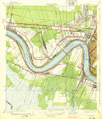
1938 · New Orleans West
USGS Topo · 1:31,680