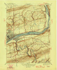
1946 Map of Berwick
USGS Topo · Published 1946About this map
The Susquehanna River cuts a wide path through the center of this landscape, separating the industrial core of Berwick and Nescopeck from the agricultural highlands of Salem. The river is punctuated by prominent landmarks like Hess I and Rocky I, while its banks are shadowed by the heavy infrastructure of the Lackawanna railroad. This 1944 survey captures a moment when rural life and industry existed in close proximity; dense street grids in the river towns quickly give way to a network of family-named churches and one-room schoolhouses scattered across the ridges.
Find a feature on this map
39 named features on this map. Tap any name to fly to it.
Don’t see what you’re looking for? This feature index may not catch every label — zoom into the map to look around manually.
Map Details
Editions of this 1946 Berwick Map
2 editions found

Other maps of this area

1889 · Catawissa
USGS Topo · 1:62,500

1892 · Catawissa
USGS Topo · 1:62,500

1892 · Mahanoy
USGS Topo · 1:62,500

1893 · Mahanoy
USGS Topo · 1:62,500

1894 · Catawissa
USGS Topo · 1:62,500

1894 · Shickshinny
USGS Topo · 1:62,500

1894 · Bloomsburg
USGS Topo · 1:62,500

1946 · Sybertsville
USGS Topo · 1:31,680

1946 · Nanticoke
USGS Topo · 1:31,680

1946 · Shickshinny
USGS Topo · 1:31,680