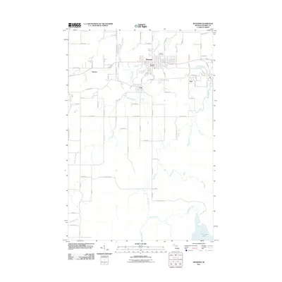
2011 Map of Bessemer
USGS Topo · Published 2011About this map
Bessemer serves as the central hub in this western Upper Peninsula landscape, flanked by the residential clusters of Yale, Siemens, and Anvil. The town's grid is anchored by the Bessemer Post Office, while the northern outskirts lead toward the Hillcrest Cemetery near Kallander Creek. This terrain is deeply influenced by the industrial legacy of the Gogebic Iron Range, reflected in names like Mine Ln and the proximity of the Black River, which flows southward toward Granite Falls. The hydrological network is dense, with Powder Mill Creek and Sellwood Creek draining the timbered areas surrounding the settlements.
Find a feature on this map
44 named features on this map. Tap any name to fly to it.
Don’t see what you’re looking for? This feature index may not catch every label — zoom into the map to look around manually.
Map Details
Editions of this 2011 Bessemer Map
This is the sole edition of this map. No revisions or reprints were ever made.
Other maps of this area

1943 · Ironwood
USGS Topo · 1:48,000

1953 · Ashland
USGS Topo · 1:250,000

1955 · Ironwood
USGS Topo · 1:24,000

1955 · Bessemer
USGS Topo · 1:24,000

1955 · Wakefield
USGS Topo · 1:24,000

1955 · Wakefield
USGS Topo · 1:62,500

1955 · Ironwood
USGS Topo · 1:62,500

1956 · North Ironwood
USGS Topo · 1:62,500

1956 · Thomaston
USGS Topo · 1:62,500

1958 · Ashland
USGS Topo · 1:250,000