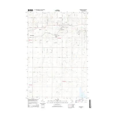
2014 Map of Bessemer
USGS Topo · Published 2014About this map
The Black River flows northward through the heart of Gogebic County's mining country, carving a path past the city of Bessemer and the smaller settlements of Yale and Anvil. This 2014 survey documents the modern road network and geographic footprint of a region built on iron ore, where residential streets like W Lead St and E Silver St in Bessemer reflect the area's geological heritage. To the east of Ironwood, the landscape transitions from urban grid to dense woodlands and wetlands, punctuated by Granite Falls and the headwaters of numerous streams including Powder Mill Cr and Palms Cr. Local history is preserved at sites like Hillcrest Cem, while the rugged geography of the Gogebic Range is defined by landmarks such as the Prospect area. The southern reaches of the map shift toward a more pristine hydrological environment, centered around the expanse of McDonald Lake.
Find a feature on this map
59 named features on this map. Tap any name to fly to it.
Don’t see what you’re looking for? This feature index may not catch every label — zoom into the map to look around manually.
Map Details
Editions of this 2014 Bessemer Map
This is the sole edition of this map. No revisions or reprints were ever made.
Other maps of this area

1943 · Ironwood
USGS Topo · 1:48,000

1953 · Ashland
USGS Topo · 1:250,000

1955 · Ironwood
USGS Topo · 1:24,000

1955 · Bessemer
USGS Topo · 1:24,000

1955 · Wakefield
USGS Topo · 1:24,000

1955 · Wakefield
USGS Topo · 1:62,500

1955 · Ironwood
USGS Topo · 1:62,500

1956 · North Ironwood
USGS Topo · 1:62,500

1956 · Thomaston
USGS Topo · 1:62,500

1958 · Ashland
USGS Topo · 1:250,000