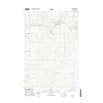
2017 Map of Bessemer
USGS Topo · Published 2017About this map
Bessemer and the neighboring settlements of Yale, Anvil, and Ramsay anchor this late-2010s survey of Michigan's Gogebic Range. The landscape is defined by the industrial legacy of iron mining, with the CN railroad corridor traversing the northern half of the quadrangle to connect these historic communities. The terrain transitions from the developed streets of Ironwood in the west to the dense hydrography of the southern lowlands, where McDonald Lake and the meandering Black River dominate the geography.
Find a feature on this map
112 named features on this map. Tap any name to fly to it.
Don’t see what you’re looking for? This feature index may not catch every label — zoom into the map to look around manually.
Map Details
Editions of this 2017 Bessemer Map
This is the sole edition of this map. No revisions or reprints were ever made.
Other maps of this area

1943 · Ironwood
USGS Topo · 1:48,000

1953 · Ashland
USGS Topo · 1:250,000

1955 · Ironwood
USGS Topo · 1:24,000

1955 · Bessemer
USGS Topo · 1:24,000

1955 · Wakefield
USGS Topo · 1:24,000

1955 · Wakefield
USGS Topo · 1:62,500

1955 · Ironwood
USGS Topo · 1:62,500

1956 · North Ironwood
USGS Topo · 1:62,500

1956 · Thomaston
USGS Topo · 1:62,500

1958 · Ashland
USGS Topo · 1:250,000