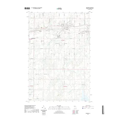
2019 Map of Bessemer
USGS Topo · Published 2019About this map
Bessemer serves as the focal point of this Gogebic County landscape, anchored by the Gogebic County Courthouse and surrounded by a cluster of smaller communities including Yale, Anvil, Siemens, and Ramsay. The geography is defined by a dense network of watercourses, most notably the Black River and its various tributaries such as Powder Mill Creek and Siemens Creek. The presence of the Ironwood to Bessemer State Trail crossing through the northern half suggests the repurposing of old corridors for modern use, while the southern reaches of the map transition into a more secluded wetland environment around McDonald Lake. Local heritage is preserved at sites like Hillcrest Cem, while the industrial legacy of the region is subtly indicated by labels like Gortex Gulch and Granite Falls along the river systems.
Find a feature on this map
70 named features on this map. Tap any name to fly to it.
Don’t see what you’re looking for? This feature index may not catch every label — zoom into the map to look around manually.
Map Details
Editions of this 2019 Bessemer Map
This is the sole edition of this map. No revisions or reprints were ever made.
Other maps of this area

1943 · Ironwood
USGS Topo · 1:48,000

1953 · Ashland
USGS Topo · 1:250,000

1955 · Ironwood
USGS Topo · 1:24,000

1955 · Bessemer
USGS Topo · 1:24,000

1955 · Wakefield
USGS Topo · 1:24,000

1955 · Wakefield
USGS Topo · 1:62,500

1955 · Ironwood
USGS Topo · 1:62,500

1956 · North Ironwood
USGS Topo · 1:62,500

1956 · Thomaston
USGS Topo · 1:62,500

1958 · Ashland
USGS Topo · 1:250,000