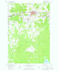
1955 Map of Bessemer
USGS Topo · Published 1977About this map
Bessemer sits at the heart of the Gogebic Range, where a dense network of iron mining operations defined the mid-century landscape. This survey reveals the intense industrial footprint of the era, from the massive Old Colby Mine and Old Tilden Mine near the city center to the sprawling Mine Dumps at Anvil and Ramsay. The transportation infrastructure, including the Chicago And North Western and Minneapolis Sault Ste Marie railroads, illustrates how ore moved from deep-shaft sites like the Geneva Mine and Newport Mine toward regional markets.
Find a feature on this map
39 named features on this map. Tap any name to fly to it.
Don’t see what you’re looking for? This feature index may not catch every label — zoom into the map to look around manually.
Map Details
Editions of this 1955 Bessemer Map
2 editions found
Other maps of this area

1943 · Ironwood
USGS Topo · 1:48,000

1953 · Ashland
USGS Topo · 1:250,000

1955 · Ironwood
USGS Topo · 1:24,000

1955 · Bessemer
USGS Topo · 1:24,000

1955 · Wakefield
USGS Topo · 1:24,000

1955 · Wakefield
USGS Topo · 1:62,500

1955 · Ironwood
USGS Topo · 1:62,500

1956 · North Ironwood
USGS Topo · 1:62,500

1956 · Thomaston
USGS Topo · 1:62,500

1958 · Ashland
USGS Topo · 1:250,000