Loading...
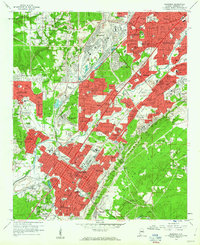
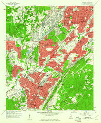
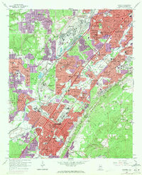
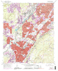
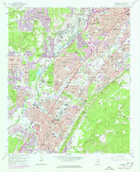
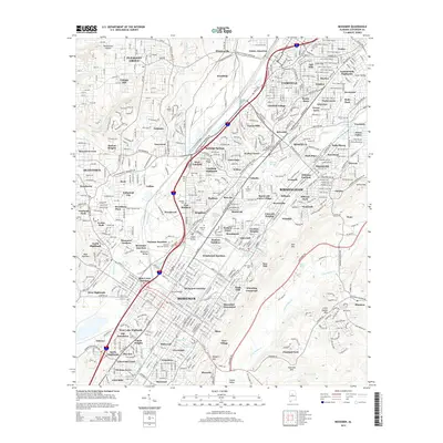
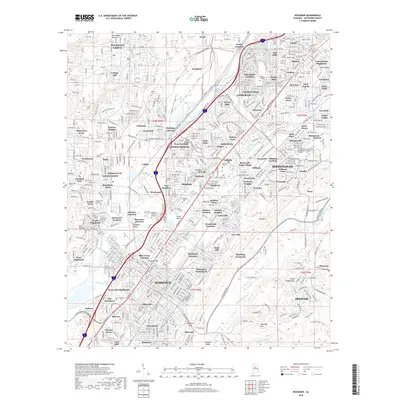
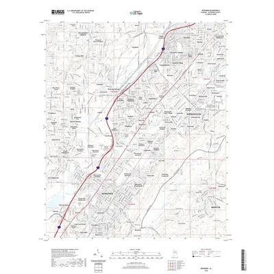
Loading map...1959 Map of Bessemer
USGS Topo · Published 1960About this map
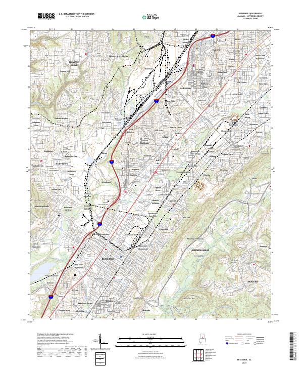
Industrial expansion and dense rail networks dominate this 1959 study of the Jones Valley corridor. The massive Tennessee Coal Iron and Railroad network intertwines with the Birmingham Southern and Louisville and Nashville lines, serving a landscape shaped by mineral extraction and processing. Significant educational and civic institutions anchor the local communities, including Miles Memorial College in Fairfield and several prominent high schools such as Westfield High Sch and Dunbar High Sch.
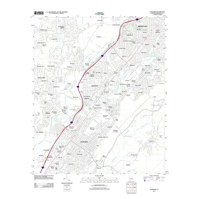
Find a feature on this map
132 named features on this map. Tap any name to fly to it.
Don’t see what you’re looking for? This feature index may not catch every label — zoom into the map to look around manually.
Map Details
Date Portrayed1959
Date Published1960
PublisherU.S. Geological Survey
Map TypeTopographic
Scale1:24,000
Physical Dimensions21.9 x 26.9 inches
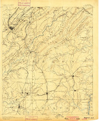
Editions of this 1959 Bessemer Map
5 editions found
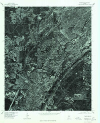
Historical Maps of Birmingham Through Time
9 maps found

Featured Locations
Source Details
SourceU.S. Geological Survey
CopyrightPublic Domain