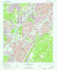
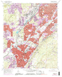
1959 Map of Bessemer
USGS Topo · Published 1991About this map
Hueytown and Bessemer anchor this detailed industrial and residential landscape of Jefferson County during a period of significant postwar expansion. The map illustrates a dense network of heavy rail including the Birmingham Southern Railroad and the Louisville and Nashville Railroad, which served the iron and coal industries that defined the region. Prominent terrain features like Red Mountain and Muscoda Mountain separate the urban corridors, while institutional landmarks such as Bessemer Stadium and St Aloysius Sch & Ch reveal the civic heart of these communities.
Find a feature on this map
146 named features on this map. Tap any name to fly to it.
Don’t see what you’re looking for? This feature index may not catch every label — zoom into the map to look around manually.
Map Details
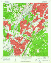
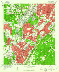
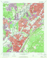
Editions of this 1959 Bessemer Map
5 editions found
Other maps of this area

1889 · Birmingham
USGS Topo · 1:125,000

1890 · Bessemer
USGS Topo · 1:125,000

1892 · Birmingham
USGS Topo · 1:125,000

1892 · Bessemer
USGS Topo · 1:125,000

1893 · Jasper
USGS Topo · 1:125,000

1895 · Birmingham
USGS Topo · 1:125,000

1899 · Brookwood
USGS Topo · 1:125,000

1904 · Birmingham Coal District
USGS Topo · 1:62,500

1905 · Bessemer Iron District
USGS Topo · 1:62,500

1906 · Birmingham Special
USGS Topo · 1:62,500