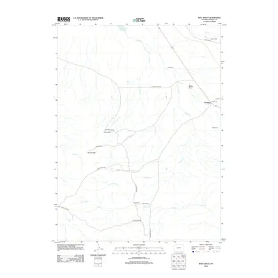
2012 Map of Best Ranch
USGS Topo · Published 2012About this map
Tie Siding and a network of family-named cattle ranches define this high-plains landscape in southern Albany County. The map records a rural economy centered on water rights and livestock, evidenced by namesake operations such as Best Ranch, Russell Ranch, and Robertson Ranch. Water management is critical to this semi-arid region, with the Willow Creek Reservoir and numerous drainages like Government Cr, Fish Cr, and Willow Cr providing essential resources. Local navigation relies on a system of specialized routes, including Sportsman Lake Rd and Elk Crossing Rd, which cut through terrain features like Boulder Ridge and the colorfully named Dirty Woman Draw. This survey serves as a detailed ledger of property and topography during the early twenty-first century.
Find a feature on this map
32 named features on this map. Tap any name to fly to it.
Don’t see what you’re looking for? This feature index may not catch every label — zoom into the map to look around manually.
Map Details
Editions of this 2012 Best Ranch Map
This is the sole edition of this map. No revisions or reprints were ever made.
Other maps of this area

1895 · Laramie
USGS Topo · 1:125,000

1902 · Laramie
USGS Topo · 1:125,000

1905 · Sherman
USGS Topo · 1:125,000

1905 · Laramie
USGS Topo · 1:125,000

1906 · Laramie
USGS Topo · 1:125,000

1907 · Livermore
USGS Topo · 1:125,000

1908 · Laramie
USGS Topo · 1:125,000

1909 · Livermore
USGS Topo · 1:125,000

1916 · Home
USGS Topo · 1:125,000

1920 · Home
USGS Topo · 1:125,000