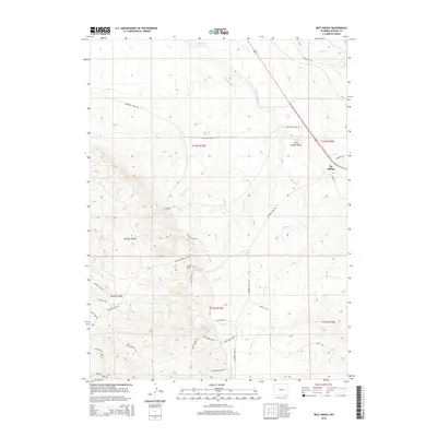
2015 Map of Best Ranch
USGS Topo · Published 2015About this map
Tie Siding serves as the primary landmark in this corner of Albany County, situated along the path of Hermosa Rd and Copper Ln. The high-elevation terrain is defined by the prominent Boulder Ridge, which stretches across the southwestern quadrant. This area is characterized by a network of ranching roads and remote trails, including Bates Ranch Rd leading toward Best Ranch, and descriptively named paths like Saw Dust Trl and Lumber Jack Rd.
Find a feature on this map
38 named features on this map. Tap any name to fly to it.
Don’t see what you’re looking for? This feature index may not catch every label — zoom into the map to look around manually.
Map Details
Editions of this 2015 Best Ranch Map
This is the sole edition of this map. No revisions or reprints were ever made.
Other maps of this area

1895 · Laramie
USGS Topo · 1:125,000

1902 · Laramie
USGS Topo · 1:125,000

1905 · Sherman
USGS Topo · 1:125,000

1905 · Laramie
USGS Topo · 1:125,000

1906 · Laramie
USGS Topo · 1:125,000

1907 · Livermore
USGS Topo · 1:125,000

1908 · Laramie
USGS Topo · 1:125,000

1909 · Livermore
USGS Topo · 1:125,000

1916 · Home
USGS Topo · 1:125,000

1920 · Home
USGS Topo · 1:125,000