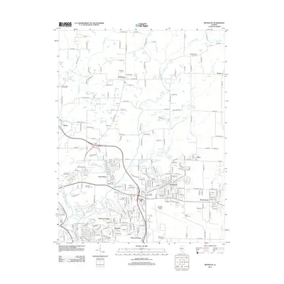
2012 Map of Bethalto
USGS Topo · Published 2012About this map
Bethalto and its surrounding communities in Madison County reveal a landscape shaped by both early agricultural settlement and modern infrastructure. The area is dense with family and community burial grounds, including the Preuitt Family Cem, Montgomery Family Cem, and the Dorsey Emmaus Lutheran Cem near Dorsey. These sites, alongside the Fosterburg Cem in Fosterburg, offer a significant record of local genealogy. The southern portion of the map is dominated by a cluster of suburban developments like Cottage Hills, Rosewood Heights, and Meadowbrook, oriented around the St Louis Regional Airport and the commercial corridors that emerged after the peak of the rail era. Traces of the older industrial network remain visible at Alton Junction, while the northern reaches of the quadrangle maintain an open character where the E Fork Wood River and Honeycut Br drain the rolling countryside.
Find a feature on this map
246 named features on this map. Tap any name to fly to it.
Don’t see what you’re looking for? This feature index may not catch every label — zoom into the map to look around manually.
Map Details
Editions of this 2012 Bethalto Map
This is the sole edition of this map. No revisions or reprints were ever made.
Other maps of this area

1912 · Gillespie
USGS Topo · 1:62,500

1915 · Gillespie
USGS Topo · 1:62,500

1925 · Brighton
USGS Topo · 1:62,500

1927 · Alton
USGS Topo · 1:62,500

1927 · Edwardsville
USGS Topo · 1:62,500

1928 · Brighton
USGS Topo · 1:62,500

1932 · Edwardsville
USGS Topo · 1:62,500

1934 · Alton
USGS Topo · 1:62,500

1935 · Columbia Bottom
USGS Topo · 1:24,000

1948 · Quincy
USGS Topo · 1:250,000