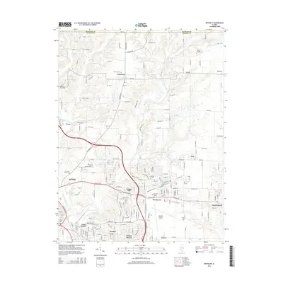
2015 Map of Bethalto
USGS Topo · Published 2015About this map
Bethalto and its surrounding suburban and rural landscape are defined by the convergence of the East Fork Wood River and several smaller tributaries. This 2015 survey illustrates a mix of well-established residential areas in Cottage Hills and Wood River alongside significant local infrastructure. The presence of the St Louis Regional Airport dominates the central-eastern portion of the quadrangle, reflecting the region's importance as an aviation hub.
Find a feature on this map
194 named features on this map. Tap any name to fly to it.
Don’t see what you’re looking for? This feature index may not catch every label — zoom into the map to look around manually.
Map Details
Editions of this 2015 Bethalto Map
This is the sole edition of this map. No revisions or reprints were ever made.
Other maps of this area

1912 · Gillespie
USGS Topo · 1:62,500

1915 · Gillespie
USGS Topo · 1:62,500

1925 · Brighton
USGS Topo · 1:62,500

1927 · Alton
USGS Topo · 1:62,500

1927 · Edwardsville
USGS Topo · 1:62,500

1928 · Brighton
USGS Topo · 1:62,500

1932 · Edwardsville
USGS Topo · 1:62,500

1934 · Alton
USGS Topo · 1:62,500

1935 · Columbia Bottom
USGS Topo · 1:24,000

1948 · Quincy
USGS Topo · 1:250,000