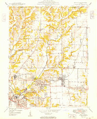
1949 Map of Bethalto
USGS Topo · Published 1949About this map
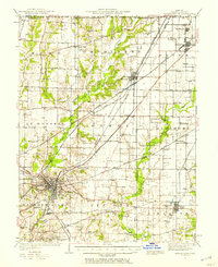
Bethalto and the developing suburbs of East Alton sit at a transitional moment of post-war expansion in Madison County. The landscape is a mix of agricultural heritage and industrial growth, marked by a dense network of country schools like Sherfy Sch and Werts Sch alongside new infrastructure like the Civic Memorial Airport. The map documents the intricate drainage of the Wood River system, where the West Fork and East Fork carve through the terrain, historically supporting small-scale industry such as the Ardent Mine.
Find a feature on this map
46 named features on this map. Tap any name to fly to it.
Don’t see what you’re looking for? This feature index may not catch every label — zoom into the map to look around manually.
Map Details
Editions of this 1949 Bethalto Map
This is the sole edition of this map. No revisions or reprints were ever made.
Other maps of this area
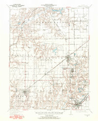
1912 · Gillespie
USGS Topo · 1:62,500
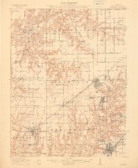
1915 · Gillespie
USGS Topo · 1:62,500
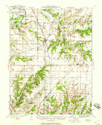
1925 · Brighton
USGS Topo · 1:62,500

1927 · Alton
USGS Topo · 1:62,500
1927 · Edwardsville
USGS Topo · 1:62,500
1928 · Brighton
USGS Topo · 1:62,500
1932 · Edwardsville
USGS Topo · 1:62,500
1934 · Alton
USGS Topo · 1:62,500
1935 · Columbia Bottom
USGS Topo · 1:24,000
1948 · Quincy
USGS Topo · 1:250,000