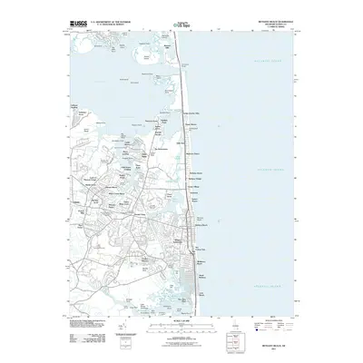
2011 Map of Bethany Beach
USGS Topo · Published 2011About this map
Bethany Beach and the neighboring community of Ocean View define this coastal landscape at the start of the 2010s, where the Atlantic shoreline meets a complex network of bays and inland waterways. The Assawoman Canal provides a vital link between the Indian River Bay and the smaller coastal ponds to the south, such as Salt Pond and Wallops Pond. Residential growth is evident in a dense patchwork of named subdivisions like Tuckahoe Acres, Simon Glade, and Mill Run Acres, while established landmarks like the Ocean View-Millville-Clarksville Post Office serve the surrounding Millville area.
Find a feature on this map
100 named features on this map. Tap any name to fly to it.
Don’t see what you’re looking for? This feature index may not catch every label — zoom into the map to look around manually.
Map Details
Editions of this 2011 Bethany Beach Map
This is the sole edition of this map. No revisions or reprints were ever made.
Other maps of this area

1901 · Ocean City
USGS Topo · 1:62,500

1918 · Rehoboth
USGS Topo · 1:62,500

1938 · Rehoboth
USGS Topo · 1:62,500

1942 · Ocean City
USGS Topo · 1:62,500

1943 · Selbyville
USGS Topo · 1:31,680
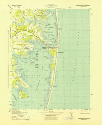
1943 · Assawoman Bay
USGS Topo · 1:31,680

1943 · Fairmount
USGS Topo · 1:24,000
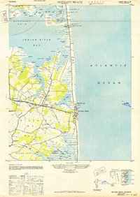
1943 · Bethany Beach
USGS Topo · 1:24,000
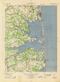
1944 · Rehoboth
USGS Topo · 1:62,500

1946 · Salisbury
USGS Topo · 1:250,000