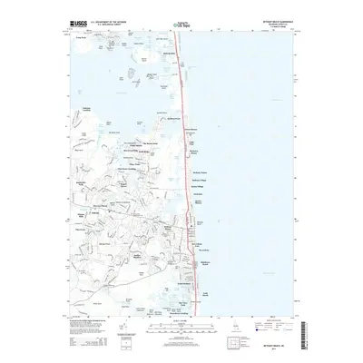
2014 Map of Bethany Beach
USGS Topo · Published 2014About this map
Bethany Beach and its neighboring coastal communities define this section of the Delaware shore, where the Assawoman Canal cuts through the low-lying landscape to connect the inland bays. The map reveals a high concentration of residential developments and resort communities such as Sea Colony, Middlesex Beach, and Tower Shores lining the Atlantic coast. Inland, the older centers of Ocean View and Millville serve as anchors for the local community, with historical markers like the Ocean View Presbyterian Cem and Banks Cem providing points of interest for genealogists.
Find a feature on this map
210 named features on this map. Tap any name to fly to it.
Don’t see what you’re looking for? This feature index may not catch every label — zoom into the map to look around manually.
Map Details
Editions of this 2014 Bethany Beach Map
This is the sole edition of this map. No revisions or reprints were ever made.
Other maps of this area

1901 · Ocean City
USGS Topo · 1:62,500

1918 · Rehoboth
USGS Topo · 1:62,500

1938 · Rehoboth
USGS Topo · 1:62,500

1942 · Ocean City
USGS Topo · 1:62,500

1943 · Selbyville
USGS Topo · 1:31,680
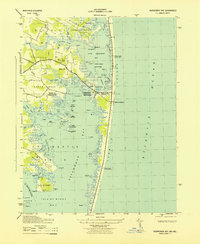
1943 · Assawoman Bay
USGS Topo · 1:31,680

1943 · Fairmount
USGS Topo · 1:24,000
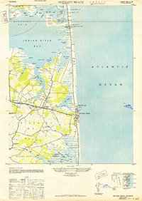
1943 · Bethany Beach
USGS Topo · 1:24,000
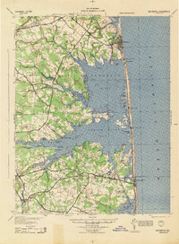
1944 · Rehoboth
USGS Topo · 1:62,500

1946 · Salisbury
USGS Topo · 1:250,000