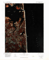
1980 Map of Bethany Beach
USGS Topo · Published 1982About this map
The coastal landscape of Bethany Beach is captured in this 1980 color infrared orthophotograph, showing the dense development of the barrier island and the intricate wetlands of the inland bays. The contrast between the built environment of the town and the expansive Atlantic Ocean reveals the narrow strip of land that defines this portion of Sussex County. Inland, the settlements of Millville and Ocean View are visible along the corridor leading to the shore, surrounded by a mosaic of agricultural fields and woodlands typical of the Delmarva Peninsula.
Find a feature on this map
7 named features on this map. Tap any name to fly to it.
Don’t see what you’re looking for? This feature index may not catch every label — zoom into the map to look around manually.
Map Details
Editions of this 1980 Bethany Beach Map
This is the sole edition of this map. No revisions or reprints were ever made.
Other maps of this area

1901 · Ocean City
USGS Topo · 1:62,500

1918 · Rehoboth
USGS Topo · 1:62,500

1938 · Rehoboth
USGS Topo · 1:62,500

1942 · Ocean City
USGS Topo · 1:62,500

1943 · Selbyville
USGS Topo · 1:31,680
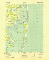
1943 · Assawoman Bay
USGS Topo · 1:31,680

1943 · Fairmount
USGS Topo · 1:24,000
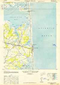
1943 · Bethany Beach
USGS Topo · 1:24,000
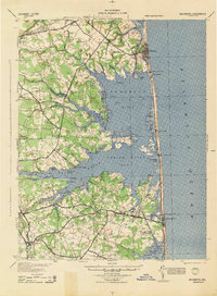
1944 · Rehoboth
USGS Topo · 1:62,500

1946 · Salisbury
USGS Topo · 1:250,000