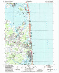
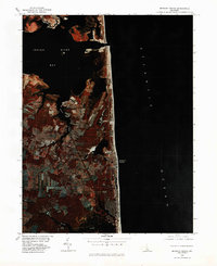
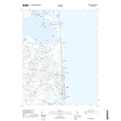
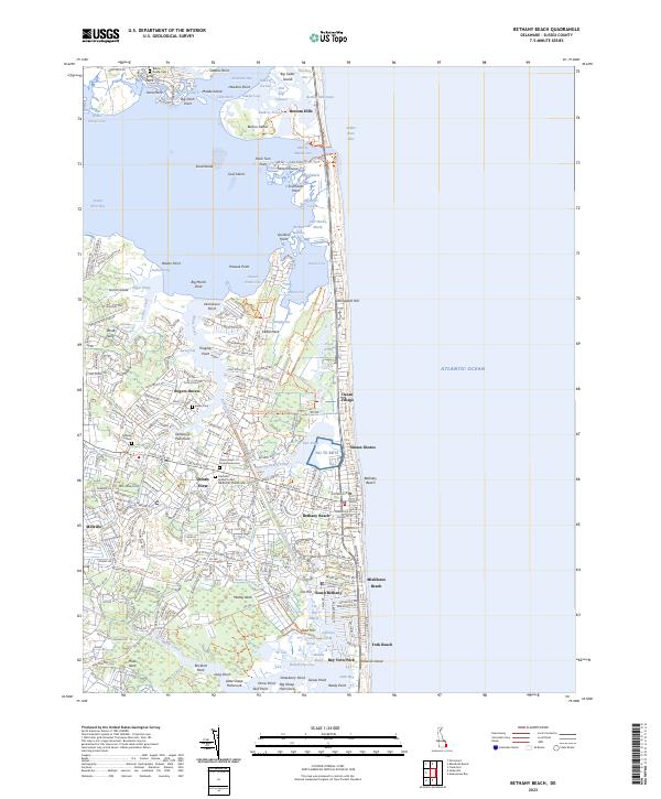
1984 Map of Bethany Beach
USGS Topo · Published 1992About this map
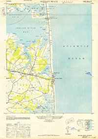
The coastal landscape of southeastern Delaware is defined by the narrow barrier spit between the Atlantic Ocean and the sheltered waters of Indian River Bay. This 1980s era survey documents the intensive residential development and vacation communities stretching from Bethany Beach north through Sussex Shores and Bethany Village. The transition from the oceanfront to the marshy interior is marked by numerous residential enclaves like Murray Estates and Banks Harbor Estates, which are carved into the banks of White Creek.
Find a feature on this map
158 named features on this map. Tap any name to fly to it.
Don’t see what you’re looking for? This feature index may not catch every label — zoom into the map to look around manually.
Map Details
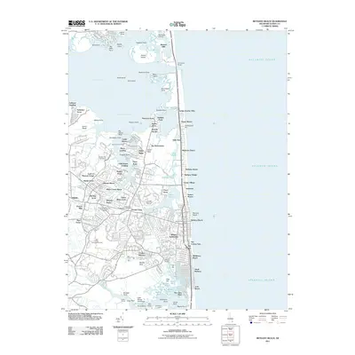
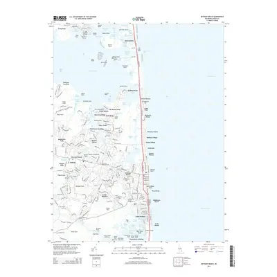
Editions of this 1984 Bethany Beach Map
2 editions found

Historical Maps of Ocean View Through Time
10 maps found
1943 Bethany Beach
Sussex County, DE
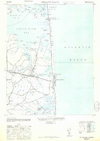
1948 Bethany Beach
Sussex County, DE
1954 Bethany Beach
Sussex County, DE
1980 Bethany Beach
Sussex County, DE
1984 Bethany Beach
Sussex County, DE
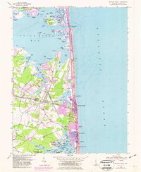
2011 Bethany Beach
Sussex County, DE
2014 Bethany Beach
Sussex County, DE
2016 Bethany Beach
Sussex County, DE
2019 Bethany Beach
Sussex County, DE
2023 Bethany Beach
Sussex County, DE