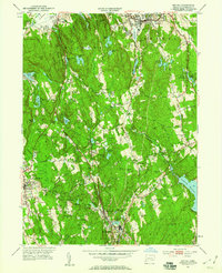
1951 Map of Bethel
USGS Topo · Published 1959About this map
The hills of northern Fairfield County appear in the early 1950s, defined by a landscape of rugged ridges and a growing network of reservoirs. The New York New Haven and Hartford railroad cuts through the center of the sheet, connecting industrial nodes like Georgetown and Branchville. Local landmarks including the Putnam Memorial Camp Grounds and Wooster Mountain State Park highlight the region's preservation of open space amidst the surrounding development.
Find a feature on this map
74 named features on this map. Tap any name to fly to it.
Don’t see what you’re looking for? This feature index may not catch every label — zoom into the map to look around manually.
Map Details
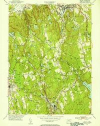
Editions of this 1951 Bethel Map
2 editions found
Other maps of this area

1892 · Stamford
USGS Topo · 1:62,500

1892 · Danbury
USGS Topo · 1:62,500

1892 · Norwalk
USGS Topo · 1:62,500

1892 · Carmel
USGS Topo · 1:62,500

1893 · Carmel
USGS Topo · 1:62,500

1893 · Stamford
USGS Topo · 1:62,500

1893 · Norwalk
USGS Topo · 1:62,500

1894 · Carmel
USGS Topo · 1:62,500

1899 · Stamford
USGS Topo · 1:62,500

1915 · Danbury
USGS Topo · 1:62,500