
1914 Map of Bethel
USGS Topo · Published 1914About this map
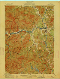
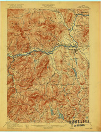
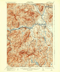
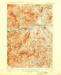
The Androscoggin River carves through the heart of the Oxford County highlands, serving as a corridor for both nature and industry. In the early twentieth century, the Grand Trunk R R followed the river's northern bank, connecting settlements like West Bethel and Gilead to the wider region. The map reveals a landscape transitioning from the river valleys to the high peaks of Riley and Batchelders Grant.
Find a feature on this map
159 named features on this map. Tap any name to fly to it.
Don’t see what you’re looking for? This feature index may not catch every label — zoom into the map to look around manually.
Map Details
Editions of this 1914 Bethel Map
5 editions found
Other maps of this area

1893 · Gorham
USGS Topo · 1:62,500

1894 · North Conway
USGS Topo · 1:62,500

1896 · Norway
USGS Topo · 1:62,500

1896 · North Conway
USGS Topo · 1:62,500

1896 · Gorham
USGS Topo · 1:62,500

1909 · Fryeburg
USGS Topo · 1:62,500

1911 · Fryeburg
USGS Topo · 1:62,500

1911 · Bryant Pond
USGS Topo · 1:62,500

1914 · Bryant Pond
USGS Topo · 1:62,500

1927 · Rumford
USGS Topo · 1:48,000