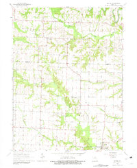
1964 Map of Bethel
USGS Topo · Published 1981About this map
Bethel and Plevna anchor this mid-century survey of Shelby and Knox Counties, where the Missouri landscape is defined by the branching tributaries of the Little Fabius River. The settlement pattern follows the high ground between these drainages, with small communities like Epworth connected by a network of rural roads. The map reveals a deeply rooted agrarian community, marked by numerous small burial grounds and country sanctuaries.
Find a feature on this map
28 named features on this map. Tap any name to fly to it.
Don’t see what you’re looking for? This feature index may not catch every label — zoom into the map to look around manually.
Map Details
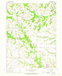
Editions of this 1964 Bethel Map
2 editions found
Other maps of this area

1903 · Kahoka
USGS Topo · 1:125,000

1903 · Palmyra
USGS Topo · 1:125,000

1903 · Edina
USGS Topo · 1:125,000

1948 · Quincy
USGS Topo · 1:250,000

1950 · La Belle
USGS Topo · 1:24,000

1951 · La Belle
USGS Topo · 1:24,000

1953 · Moberly
USGS Topo · 1:250,000

1954 · Centerville
USGS Topo · 1:250,000

1954 · Moberly
USGS Topo · 1:250,000

1956 · Quincy
USGS Topo · 1:250,000