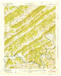
1941 Map of Bethel Valley
USGS Topo · Published 1941About this map
Blackoak Ridge and Pine Ridge define the ridgeline-and-valley structure of this East Tennessee landscape, surveyed just as the Watts Bar Reservoir began to influence the Clinch River drainage. The map documents the rural character of Bethel Valley and Sugar Grove Valley before the mid-century industrial transformations of the region. Local life centers on small communities and family landmarks, including the settlement of Wheat and various country houses of worship like George Jones Memorial Ch and New Bethel Ch. Along the river, the presence of the White Wing Ferry and numerous family cemeteries, such as the Gallaher Cem and Gum Christenbery Cem, provide a detailed record of established landholdings and transport patterns. Educational hubs like Mountain View Sch and Acme Sch appear alongside the winding course of the river at Gallaher Bend.
Find a feature on this map
105 named features on this map. Tap any name to fly to it.
Don’t see what you’re looking for? This feature index may not catch every label — zoom into the map to look around manually.
Map Details
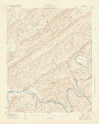
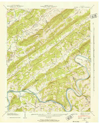
Editions of this 1941 Bethel Valley Map
3 editions found
Other maps of this area

1893 · Briceville
USGS Topo · 1:125,000

1895 · Loudon
USGS Topo · 1:125,000

1895 · Briceville
USGS Topo · 1:125,000

1896 · Briceville
USGS Topo · 1:125,000

1935 · Lenoir City
USGS Topo · 1:24,000

1935 · Elverton
USGS Topo · 1:24,000

1935 · Bethel Valley
USGS Topo · 1:24,000

1935 · Lovell
USGS Topo · 1:24,000

1936 · Cave Creek
USGS Topo · 1:24,000

1936 · Windrock
USGS Topo · 1:24,000