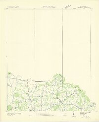
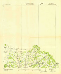
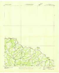
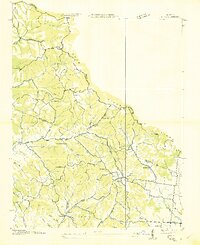
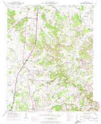
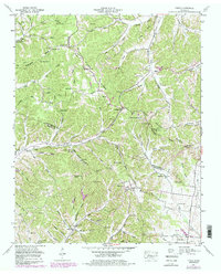
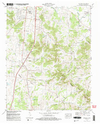
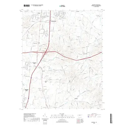
1936 Map of Bethesda
USGS Topo · Published 1969About this map
Bethesda and the surrounding rural landscapes of southern Williamson County are captured here during a 1936 field examination, coordinated by the Tennessee Valley Authority. The map reveals a deeply established family-land network, evidenced by the high density of namesake burial grounds such as Pointer Cem, Evans Cem, Smithson Cem, and Crutcher Cem. These features, along with Mt Zion Ch and the Bethesda Sch, highlight the community centers of this agricultural era before the expansion of modern infrastructure.
Find a feature on this map
23 named features on this map. Tap any name to fly to it.
Don’t see what you’re looking for? This feature index may not catch every label — zoom into the map to look around manually.
Map Details
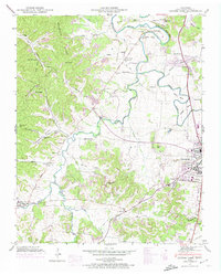
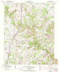
Editions of this 1936 Bethesda Map
2 editions found
Historical Maps of Franklin Through Time
37 maps found
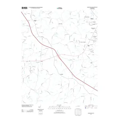
1936 Bethesda
Williamson County, TN
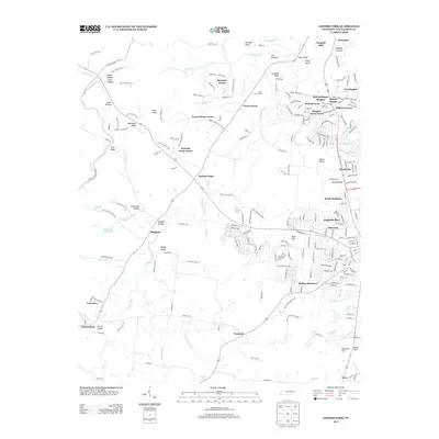
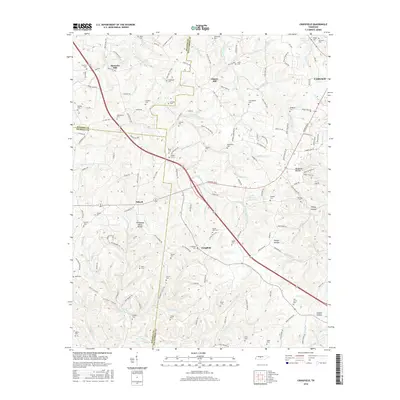
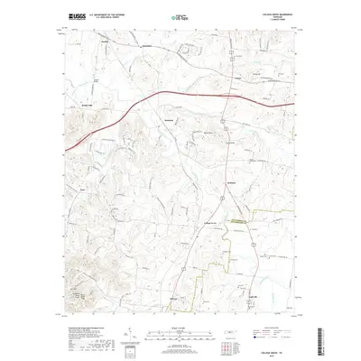
1936 Craigfield
Williamson County, TN
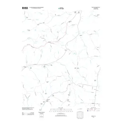
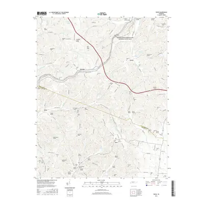
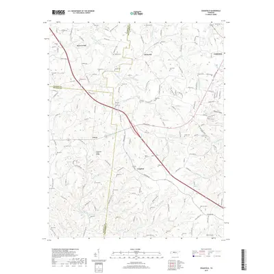
1936 Theta
Williamson County, TN
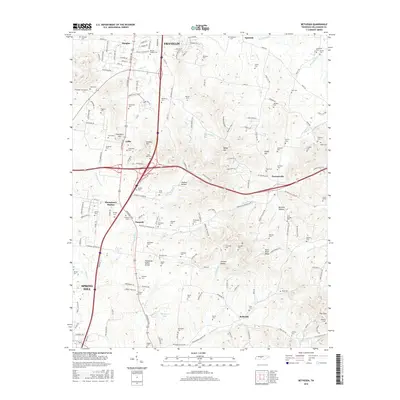
1946 Bethesda
Williamson County, TN
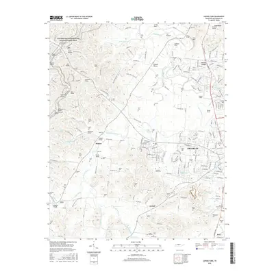
1946 Leipers Fork
Williamson County, TN
1949 Bethesda
Williamson County, TN
1949 Leipers Fork
Williamson County, TN
1951 Theta
Williamson County, TN
1953 Craigfield
Williamson County, TN
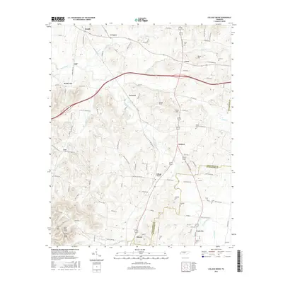
1957 College Grove
Williamson County, TN
1981 Leipers Fork
Williamson County, TN
1982 Bethesda
Williamson County, TN
2010 Bethesda
Williamson County, TN
2010 College Grove
Williamson County, TN
2010 Craigfield
Williamson County, TN
2010 Leipers Fork
Williamson County, TN
2010 Theta
Williamson County, TN
2013 Bethesda
Williamson County, TN
2013 College Grove
Williamson County, TN
2013 Craigfield
Williamson County, TN
2013 Leipers Fork
Williamson County, TN
2013 Theta
Williamson County, TN
2016 Bethesda
Williamson County, TN
2016 College Grove
Williamson County, TN
2016 Craigfield
Williamson County, TN
2016 Leipers Fork
Williamson County, TN
2016 Theta
Williamson County, TN
2019 Bethesda
Williamson County, TN
2019 College Grove
Williamson County, TN
2019 Craigfield
Williamson County, TN
2019 Leipers Fork
Williamson County, TN

2019 Theta
Williamson County, TN
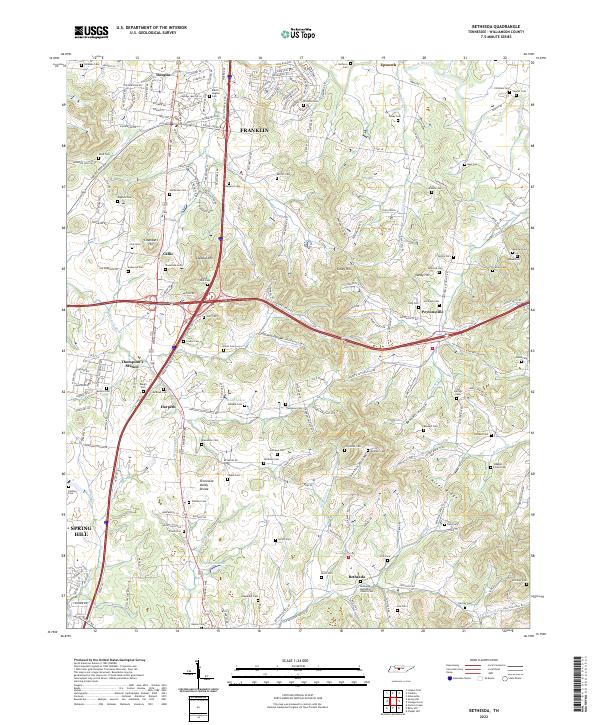
2022 Bethesda
Williamson County, TN
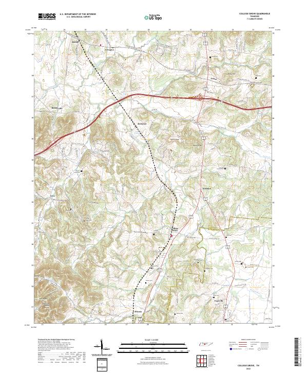
2022 College Grove
Williamson County, TN
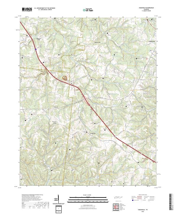
2022 Craigfield
Williamson County, TN
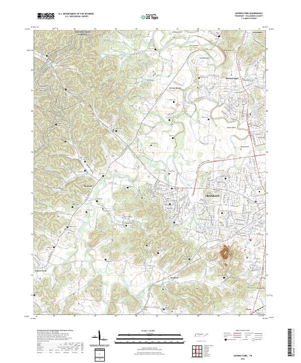
2022 Leipers Fork
Williamson County, TN
2022 Theta
Williamson County, TN