
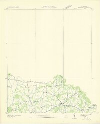
1936 Map of Bethesda
USGS Topo · Published 1969About this map
Bethesda and the surrounding rural communities of southern Williamson (Williamson County) are documented here during a period of significant regional mapping by the Tennessee Valley Authority. The landscape is defined by the Divide separating the Basin, where small family-named cemeteries such as Steele Cem, Smithson Cem, and Knott Cem serve as vital markers of early Tennessee settlement patterns. The social life of the area centers on the village of Bethesda, anchored by the Bethesda Ch and Bethesda Sch, while the crossroads at Cross Key marks the eastern edge of this agricultural district.
Find a feature on this map
22 named features on this map. Tap any name to fly to it.
Don’t see what you’re looking for? This feature index may not catch every label — zoom into the map to look around manually.
Map Details
Editions of this 1936 Bethesda Map
2 editions found
Other maps of this area

1909 · Franklin
USGS Topo · 1:62,500

1936 · Chapel Hill
USGS Topo · 1:24,000

1936 · Rally Hill
USGS Topo · 1:24,000

1936 · Spring Hill
USGS Topo · 1:24,000

1936 · Carters Creek
USGS Topo · 1:24,000

1941 · Carters Creek
USGS Topo · 1:24,000

1942 · Lebanon
USGS Topo · 1:100,000

1944 · Shelbyville
USGS Topo · 1:100,000

1946 · Leipers Fork
USGS Topo · 1:24,000

1946 · Bethesda
USGS Topo · 1:24,000