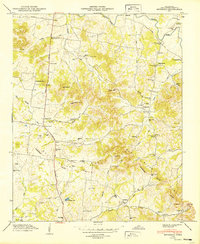
1949 Map of Bethesda
USGS Topo · Published 1949About this map
Bethesda and Peytonsville anchor this rural Williamson County landscape, which was surveyed in the years following World War II. The terrain is characterized by the prominent Tennessee Duck River Valley Divide, a natural boundary separating the drainage basins of the Harpeth River and the Duck River system. This division is reflected in the numerous creeks that carve through the hills, such as Goose Creek and Starnes Creek.
Find a feature on this map
66 named features on this map. Tap any name to fly to it.
Don’t see what you’re looking for? This feature index may not catch every label — zoom into the map to look around manually.
Map Details
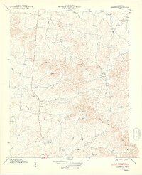
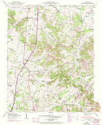
Editions of this 1949 Bethesda Map
3 editions found
Other maps of this area

1909 · Franklin
USGS Topo · 1:62,500

1936 · Chapel Hill
USGS Topo · 1:24,000

1936 · Rally Hill
USGS Topo · 1:24,000

1936 · Spring Hill
USGS Topo · 1:24,000

1936 · Carters Creek
USGS Topo · 1:24,000

1936 · Bethesda
USGS Topo · 1:24,000

1941 · Carters Creek
USGS Topo · 1:24,000

1942 · Lebanon
USGS Topo · 1:100,000

1944 · Shelbyville
USGS Topo · 1:100,000

1946 · Leipers Fork
USGS Topo · 1:24,000