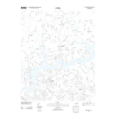
2013 Map of Bethlehem
USGS Topo · Published 2013About this map
Lake Hickory dominates the central landscape of this 2013 survey, where the waters of the Upper Little River and Middle Little River converge. The suburban expansion north of the Catawba River is evident in the residential grids of North Hickory and Saint Stephens, contrasted by the more dispersed settlements of Bethlehem and Petra Mills to the north. This transition from dense neighborhood blocks to rural homesteads is punctuated by long-standing community landmarks like Bethlehem School and local spiritual hubs such as Advent Church and Fellowship Church.
Find a feature on this map
321 named features on this map. Tap any name to fly to it.
Don’t see what you’re looking for? This feature index may not catch every label — zoom into the map to look around manually.
Map Details
Editions of this 2013 Bethlehem Map
This is the sole edition of this map. No revisions or reprints were ever made.
Other maps of this area

1895 · Hickory
USGS Topo · 1:125,000

1953 · Charlotte
USGS Topo · 1:250,000

1954 · Charlotte
USGS Topo · 1:250,000

1960 · Charlotte
USGS Topo · 1:250,000

1962 · Charlotte
USGS Topo · 1:250,000

1970 · Bethlehem
USGS Topo · 1:24,000

1970 · Newton
USGS Topo · 1:24,000
1970 · Granite Falls
USGS Topo · 1:24,000
1970 · Ellendale
USGS Topo · 1:24,000
1970 · Longview
USGS Topo · 1:24,000