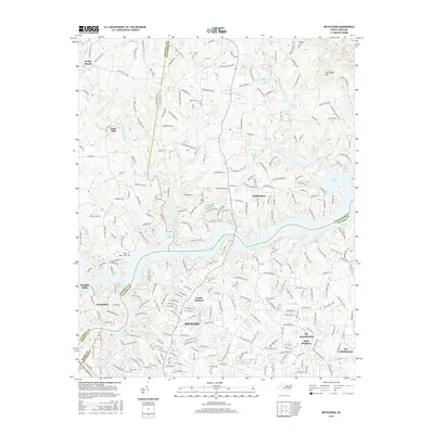
2016 Map of Bethlehem
USGS Topo · Published 2016About this map
Lake Hickory serves as the dominant geographical feature of this region, separating the community of Bethlehem to the north from the urban expansion of Hickory and Saint Stephens to the south. The complex shoreline is defined by numerous inlets where Mill Creek, Falling Creek, and Snow Creek meet the reservoir. This mid-2010s survey captures the dense suburban road networks characteristic of the modern foothills, yet preserves evidence of an older rural landscape through markers like Bentley Cemetery and Pisgah Cemetery. To the north and west, the terrain rises toward Sal Teague Hill and the community of Dudley Shoals, where the Upper Little River and Middle Little River wind through more open spaces. The boundary intersections of Caldwell, Alexander, Catawba, and Burke counties highlight the strategic importance of this river crossing in Western North Carolina.
Find a feature on this map
239 named features on this map. Tap any name to fly to it.
Don’t see what you’re looking for? This feature index may not catch every label — zoom into the map to look around manually.
Map Details
Editions of this 2016 Bethlehem Map
This is the sole edition of this map. No revisions or reprints were ever made.
Other maps of this area

1895 · Hickory
USGS Topo · 1:125,000

1953 · Charlotte
USGS Topo · 1:250,000

1954 · Charlotte
USGS Topo · 1:250,000

1960 · Charlotte
USGS Topo · 1:250,000

1962 · Charlotte
USGS Topo · 1:250,000

1970 · Bethlehem
USGS Topo · 1:24,000

1970 · Newton
USGS Topo · 1:24,000
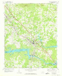
1970 · Granite Falls
USGS Topo · 1:24,000
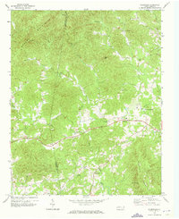
1970 · Ellendale
USGS Topo · 1:24,000
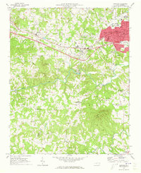
1970 · Longview
USGS Topo · 1:24,000