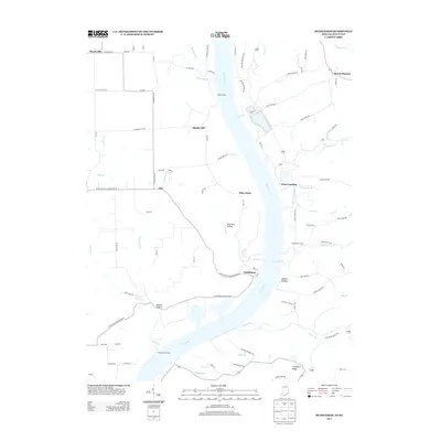
2013 Map of Bethlehem
USGS Topo · Published 2013About this map
The Ohio River carves a deep bend through the borderlands of Indiana and Kentucky, defining the geography of the Bethlehem area. Along the western bank, the settlement of Bethlehem sits nestled between Knob Cr and the river, while the community of Otto and the rural junction of Marble Hill occupy the higher ground to the north. Across the water, the Bethlehem Reach provides a long, straight stretch of navigable river leading toward Wises Landing and the bluffs of Mount Pleasant. The landscape is etched with steep hollows and ridges, such as Doolittle Hollow and Abbott Hollow, which drain into the river via numerous small tributaries like Corn Cr and Middle Cr. This river-oriented economy is evidenced by historic points like King Landing and Pattersons Landing, which once served as vital connections between the farming communities on both sides of the water.
Find a feature on this map
93 named features on this map. Tap any name to fly to it.
Don’t see what you’re looking for? This feature index may not catch every label — zoom into the map to look around manually.
Map Details
Editions of this 2013 Bethlehem Map
This is the sole edition of this map. No revisions or reprints were ever made.
Other maps of this area

1905 · Prospect
USGS Topo · 1:62,500

1912 · Prospect
USGS Topo · 1:62,500

1932 · La Grange
USGS Topo · 1:62,500

1938 · Owen
USGS Topo · 1:24,000

1939 · Bethlehem
USGS Topo · 1:24,000

1939 · Madison West
USGS Topo · 1:24,000

1948 · Bethlehem
USGS Topo · 1:24,000

1948 · Madison West
USGS Topo · 1:24,000

1948 · Owen
USGS Topo · 1:24,000

1953 · Madison West
USGS Topo · 1:24,000